
Country United States Time zone Eastern (EST) (UTC-5) Elevation 187 m Local time Thursday 10:58 PM | FIPS code 18-43632 Zip code 47885 | |
 | ||
Weather 3°C, Wind SE at 10 km/h, 55% Humidity | ||
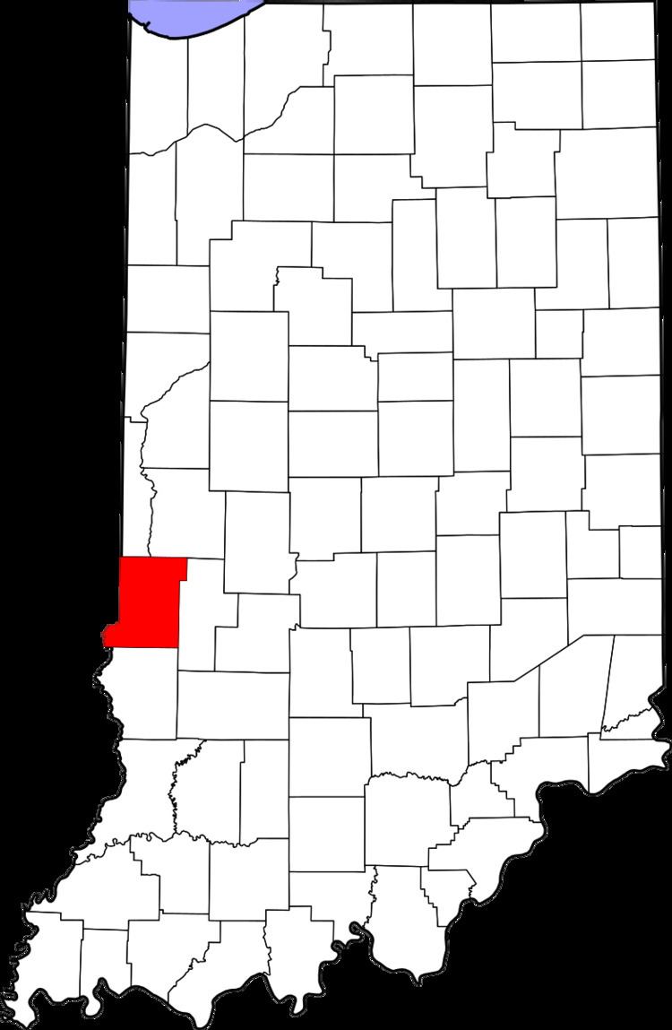
Libertyville is an unincorporated community in Vermillion and Vigo counties, in the U.S. state of Indiana.
Contents
Map of Libertyville, IN 47885, USA
It is part of the Terre Haute Metropolitan Statistical Area.
History
A post office was established at Libertyville in 1871, and remained in operation until it was discontinued in 1904.
Geography
Libertyville is located at 39°36′10″N 87°31′07″W.
References
Libertyville, Indiana Wikipedia(Text) CC BY-SA