
 | ||
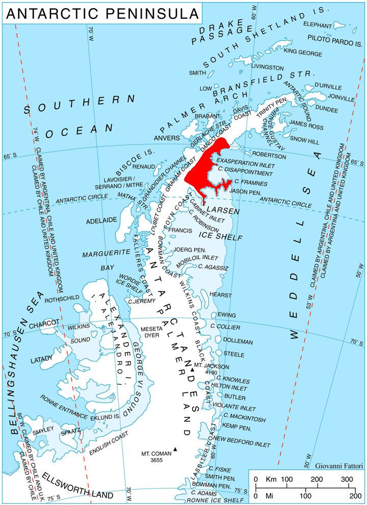
Fartuni Nunatak (Bulgarian: нунатак Фъртуни, ‘Nunatak Fartuni’ \'nu-na-tak f&r-'tu-ni) is the narrow, rocky ridge extending 1.6 km in northwest-southeast direction, and rising to 1100 m in Ivanili Heights on Oscar II Coast in Graham Land. It is situated in the northwest part of Rogosh Glacier. The feature is named after the settlement of Fartuni in Northern Bulgaria.
Contents
Location
Fartuni Nunatak is located at 64°52′42″S 61°21′32″W, which is 3.25 km east-southeast of Manastir Peak, 3.1 km south of Stargel Peak, and 6.25 km west-northwest of Dymcoff Crag in Lovech Heights. British mapping in 1978.
Maps
References
Fartuni Nunatak Wikipedia(Text) CC BY-SA