
 | ||
Rogosh Glacier (Bulgarian: ледник Рогош, ‘Lednik Rogosh’ \'led-nik ro-'gosh) is the 29 km long and 5 km wide glacier on Oscar II Coast, Graham Land in Antarctica situated east of Brenitsa Glacier, south of Drygalski Glacier, and southwest of Zlokuchene Glacier and Risimina Glacier. Draining southwards from Kyustendil Ridge between Lovech Heights and Ivanili Heights, and turning eastwards north of Skilly Peak. At the ridge forming Cape Fairweather the glacier branches to flow into Artanes Bay to the south, and into Weddell Sea west of Pedersen Nunatak to the east.
Contents
Map of Rogosh Glacier, Antarctica
The feature is named after the settlement of Rogosh in southern Bulgaria.
Location
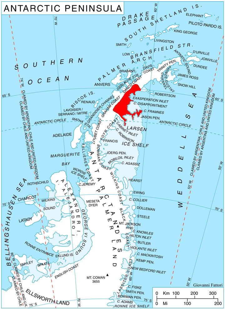
Rogosh Glacier is centred at 64°55′00″S 61°19′00″W. British mapping in 1974.
Maps
References
Rogosh Glacier Wikipedia(Text) CC BY-SA