
 | ||
Graham Land is the portion of the Antarctic Peninsula that lies north of a line joining Cape Jeremy and Cape Agassiz. This description of Graham Land is consistent with the 1964 agreement between the British Antarctic Place-names Committee and the US Advisory Committee on Antarctic Names, in which the name "Antarctic Peninsula" was approved for the major peninsula of Antarctica, and the names Graham Land and Palmer Land for the northern and southern portions, respectively. The line dividing them is roughly 69 degrees south.
Contents
Map of Graham Land, Antarctica
Graham Land is named after Sir James R. G. Graham, First Lord of the Admiralty at the time of John Biscoe's exploration of the west side of Graham Land in 1832. It is claimed by Argentina (as part of Argentine Antarctica), Britain (as part of the British Antarctic Territory) and Chile (as part of the Chilean Antarctic Territory).
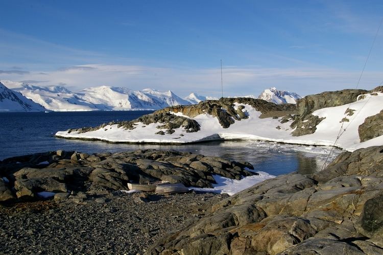
Graham Land is the closest part of Antarctica to South America. Until the discoveries of the British Graham Land Expedition of 1934–1937, it was generally supposed to be an archipelago rather than a peninsula. The mountains of the Graham Land are the last range of the American Cordillera, a chain of mountain ranges (cordillera) that consists of an almost continuous sequence of mountain ranges that form the western "backbone" of North America, Central America, South America and Antarctica.
Mountains
Other names
Argentina calls the area Tierra de San Martín (Land of Saint Martin) and also calls the northern peninsula (Trinity Peninsula) Península Trinidad or Tierra de la Trinidad. Similarly, Chile calls the entire Antarctic Peninsula Tierra de O'Higgins (Land of O'Higgins).