
 | ||
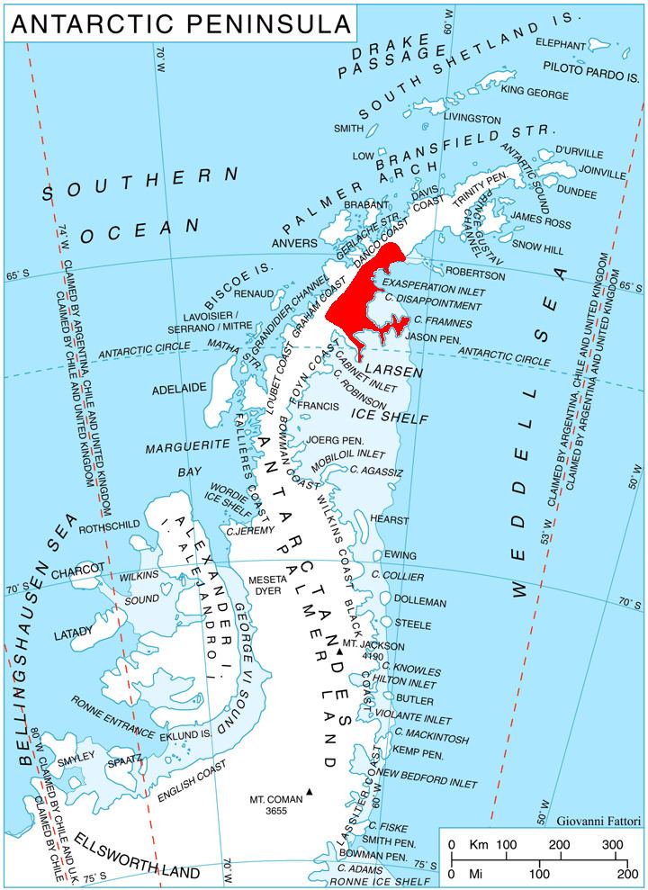
Ivanili Heights (Bulgarian: Иванилски възвишения, ‘Ivanilski Vazvisheniya’ i-va-'nil-ski v&z-vi-'she-ni-ya) are the heights extending 10 km in north-south direction and 7.5 km wide, rising to 1350 m (Stargel Peak) on Oscar II Coast in Graham Land. They are bounded by Brenitsa Glacier to the west and Rogosh Glacier to the east, and linked by Okorsh Saddle to Foster Plateau to the north. The feature is named after the settlement of Ivanili in Northern Bulgaria.
Contents
Map of Ivanili Heights, Antarctica
Location
Ivanili Heights are centred at 64°52′30″S 61°25′00″W. British mapping in 1978.
Maps
References
Ivanili Heights Wikipedia(Text) CC BY-SA