
 | ||
Stargel Peak (Bulgarian: връх Стъргел, ‘Vrah Stargel’ \'vr&h 'st&r-gel) is the sharp rocky peak rising to 1350 m at the north extremity of Ivanili Heights on Oscar II Coast in Graham Land, Antarctica. It is linked by Okorsh Saddle to Foster Plateau to the north, and surmounts Brenitsa Glacier to the west and Rogosh Glacier to the east. The feature is named after the settlement of Stargel in Western Bulgaria.
Contents
Map of Stargel Peak, Antarctica
Location
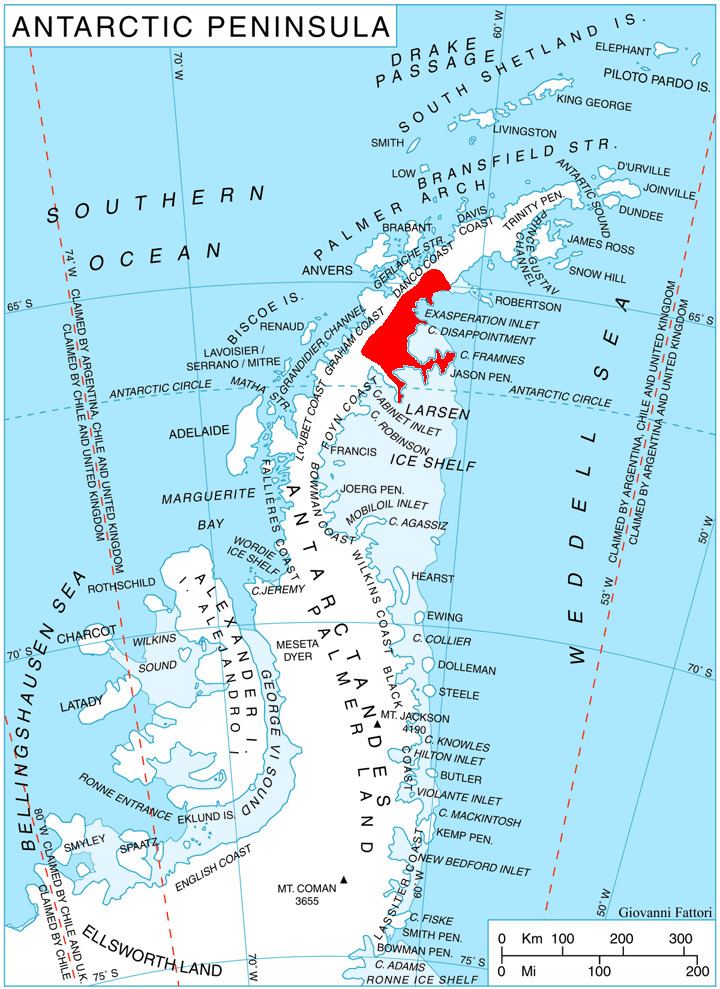
Stargel Peak is located at 64°51′04″S 61°22′09″W, which is 8.55 km west-northwest of Mount Persenk in Lovech Heights, 14.15 km north-northwest of Skilly Peak, and 9.95 km east of Mount Quandary. British mapping in 1978.
Maps
References
Stargel Peak Wikipedia(Text) CC BY-SA