
Type Highway | Length 45.7 km (28 mi) | |
 | ||
West end New England Highway (A3 / State Route 85), Hampton | ||
The Esk–Hampton Road is a state highway in Queensland. It leaves the Brisbane Valley Highway at Esk and travels in a westerly direction for 45.7 kilometres (28 mi) until it reaches the New England Highway at Hampton, where it ends. This road is part of State Route 85, which extends for over 570 kilometres (354 mi) from Bribie Island to Nindigully, duplexing with the Brisbane Valley Highway (National Route 17) from the D'Aguilar Highway to Esk, the New England Highway (State Route A3) from Hampton to Toowoomba, the Gore Highway (National Route A39 - formerly 85) from Toowoomba to the Leichhardt Highway, and the southern 19 kilometres (12 mi) section of the Leichhardt Highway (also National Route A39) to Goondiwindi.
Contents
Map of Esk Hampton Rd, Queensland, Australia
History
From a historical perspective the Esk–Hampton Road consists of three sections of approximately equal length. The eastern section, from Esk to the foothills of the Great Dividing Range, was developed along Redbank Creek to provide access to stands of timber, and to a sawmill that was located at Redbank Creek. Subsequently, it serviced farms that were established on land cleared of most old growth forest.
The western section, from Hampton to the end of a spur of the Great Dividing Range, was also developed to facilitate the harvesting of timber. Prior to European settlement the rich volcanic soil on the ridge supported a sub-tropical rainforest, which contained timbers that were in high demand, including red cedar, tallowwood and hoop pine. These timbers were used in some homes constructed in the area at the time. The road later provided access to cleared land that was used for dairying and beef cattle grazing. This section provides access to Ravensbourne National Park, which preserves a remnant of the rainforest.
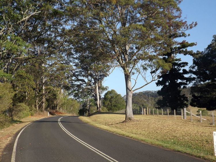
The central (mountain) section was developed later, to enable more direct travel between the two districts. The road is now a popular tourist drive, particularly as part of a round trip from the Brisbane area to the Toowoomba district. It is rated as a "good ride" by motorcycling tourists.
Terrain
The Esk–Hampton Road climbs from an elevation of 117m at Esk to 719m at Hampton. Seven km of its length has an incline/grade of 5 to 10% and 1.4 km has an incline/grade greater than 10%.