
ZIP codes 50430, 50447 Elevation 356 m Local time Wednesday 1:23 AM | Time zone CST (UTC-6) GNIS feature ID 0467395 Area 92.83 km² Population 927 (2000) | |
 | ||
Weather 1°C, Wind NW at 23 km/h, 99% Humidity | ||
Amsterdam Township is one of sixteen townships in Hancock County, Iowa, USA. As of the 2000 census, its population was 927.
Contents
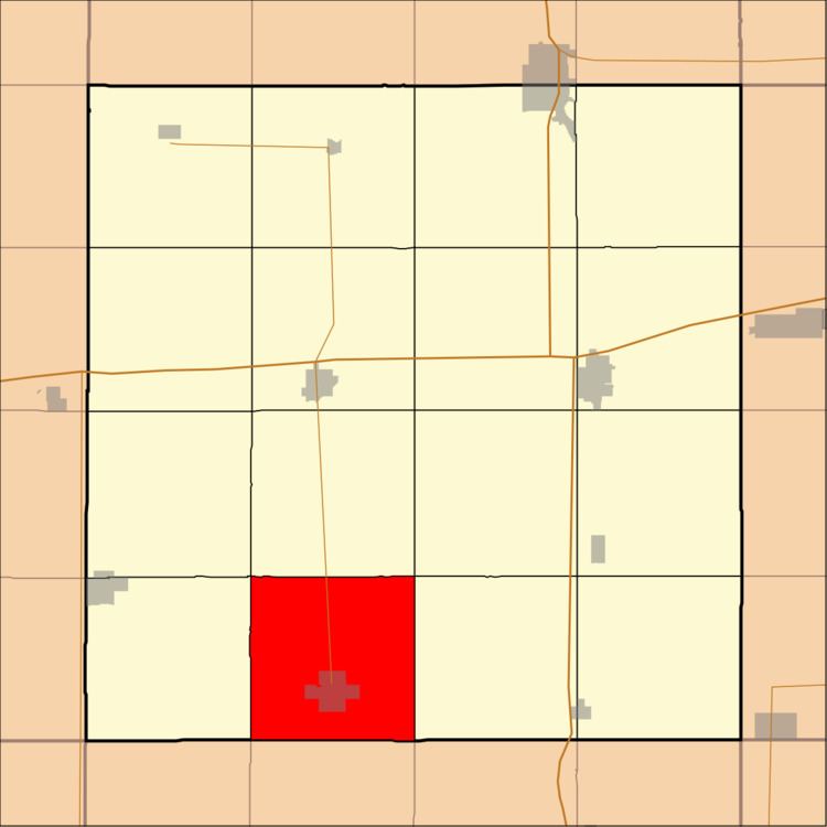
- Map of Amsterdam IA 50447 USA
- Geography
- Cities towns villages
- Adjacent townships
- Cemeteries
- Major highways
- School districts
- Political districts
- References
Map of Amsterdam, IA 50447, USA
Geography
According to the United States Census Bureau, Amsterdam Township covers an area of 35.84 square miles (92.83 square kilometers); of this, 35.78 square miles (92.68 square kilometers, 99.84 percent) is land and 0.06 square miles (0.15 square kilometers, 0.16 percent) is water.
Cities, towns, villages
Adjacent townships
Cemeteries
The township contains these three cemeteries: New Amsterdam Township, Old Amsterdam and West Lake.
Major highways
School districts
Political districts
References
Amsterdam Township, Hancock County, Iowa Wikipedia(Text) CC BY-SA