
ZIP codes 50430, 50447 Elevation 354 m Population 450 (2000) | Time zone CST (UTC-6) GNIS feature ID 0468331 Area 93.54 km² Local time Friday 10:35 PM | |
 | ||
Weather 2°C, Wind NW at 27 km/h, 79% Humidity | ||
Magor Township is one of sixteen townships in Hancock County, Iowa, USA. As of the 2000 census, its population was 450.
Contents
- Map of Magor IA USA
- History
- Geography
- Cities towns villages
- Unincorporated towns
- Adjacent townships
- Cemeteries
- School districts
- Political districts
- References
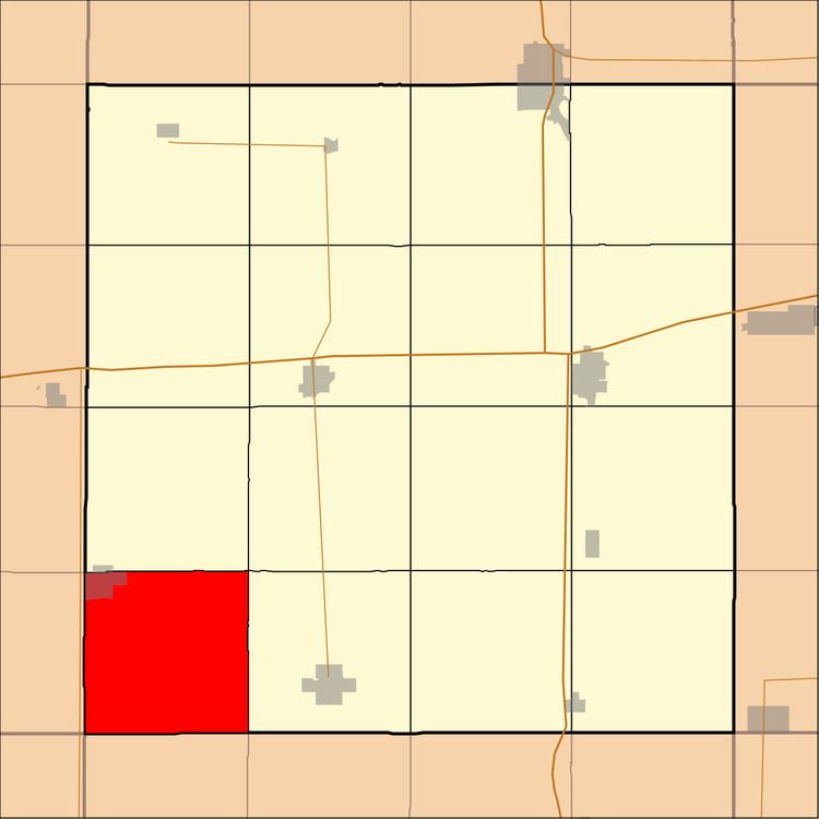
Map of Magor, IA, USA
History
Magor Township was founded in 1878. It was named for Henry Magor, a pioneer settler.
Geography
According to the United States Census Bureau, Magor Township covers an area of 36.12 square miles (93.54 square kilometers).
Cities, towns, villages
Unincorporated towns
(This list is based on USGS data and may include former settlements.)
Adjacent townships
Cemeteries
The township contains these three cemeteries: Corwith, Magor Township and Saint Marys.
School districts
Political districts
References
Magor Township, Hancock County, Iowa Wikipedia(Text) CC BY-SA