
ZIP codes 50438, 50439, 50447 Elevation 383 m Local time Monday 2:41 AM | Time zone CST (UTC-6) GNIS feature ID 0468801 Area 92.64 km² Population 197 (2000) | |
 | ||
Weather 4°C, Wind N at 8 km/h, 100% Humidity | ||
Twin Lake Township is one of sixteen townships in Hancock County, Iowa, USA. As of the 2000 census, its population was 197.
Contents
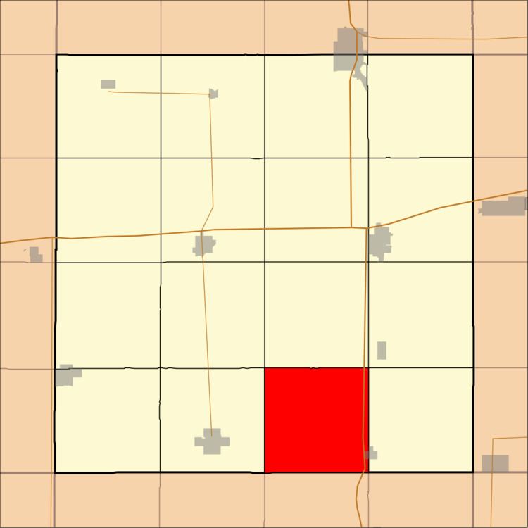
- Map of Twin Lake IA USA
- History
- Geography
- Cities towns villages
- Adjacent townships
- Major highways
- School districts
- Political districts
- References
Map of Twin Lake, IA, USA
History
Twin Lake Township was organized in 1882. It was named from two lakes in the southern part of the township.
Geography
According to the United States Census Bureau, Twin Lake Township covers an area of 35.77 square miles (92.64 square kilometers); of this, 35.32 square miles (91.48 square kilometers, 98.75 percent) is land and 0.45 square miles (1.16 square kilometers, 1.25 percent) is water.
Cities, towns, villages
Adjacent townships
Major highways
School districts
Political districts
References
Twin Lake Township, Hancock County, Iowa Wikipedia(Text) CC BY-SA