Country United States GNIS feature ID 453277 Local time Thursday 8:01 AM | FIPS code 18-20962 Elevation 150 m Population 1,113 (2010) | |
 | ||
Weather 5°C, Wind SE at 3 km/h, 65% Humidity Area 91.5 km² (90.6 km² Land / 91 ha Water) | ||
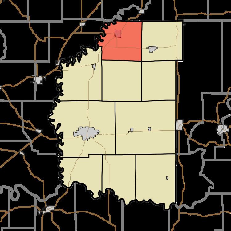
Elmore Township is one of ten townships in Daviess County, Indiana, United States. As of the 2010 census, its population was 1,113 and it contained 521 housing units.
Contents
- Map of Elmore Township IN USA
- History
- Geography
- Cities and towns
- Adjacent townships
- Major highways
- Cemeteries
- References
Map of Elmore Township, IN, USA
History
Elmore Township was organized on 13 August 1821 from the northern part of Bogard Township. It was named for the Elmore family; although they were not the first settlers (they arrived in 1818, two years after the first settlement), they owned land near the township's voting location. The township's population fluctuated greatly in its early years; many individuals built boats and floated down the White River, while large numbers of people from other states settled in the township. Perhaps the most significant growth occurred in 1825, when at least five Tennessee families and at least one family from Kentucky settled in the township.
Geography
According to the 2010 census, the township has a total area of 35.33 square miles (91.5 km2), of which 34.98 square miles (90.6 km2) (or 99.01%) is land and 0.35 square miles (0.91 km2) (or 0.99%) is water. Indian Pond is in this township.
Cities and towns
Adjacent townships
Major highways
Cemeteries
The township contains three cemeteries: Fairview and Ketchem.
