
Country United States County Daviess GNIS feature ID 453944 Local time Friday 10:33 PM | State Indiana FIPS code 18-78434 Elevation 150 m Population 2,552 (2010) | |
 | ||
Weather 6°C, Wind NW at 5 km/h, 87% Humidity Area 79.93 km² (78.27 km² Land / 168 ha Water) | ||
Van Buren Township is one of ten townships in Daviess County, Indiana. As of the 2010 census, its population was 2,552 and it contained 657 housing units. The population grew 30% since the 2000 census, when the population was 1,960.
Contents
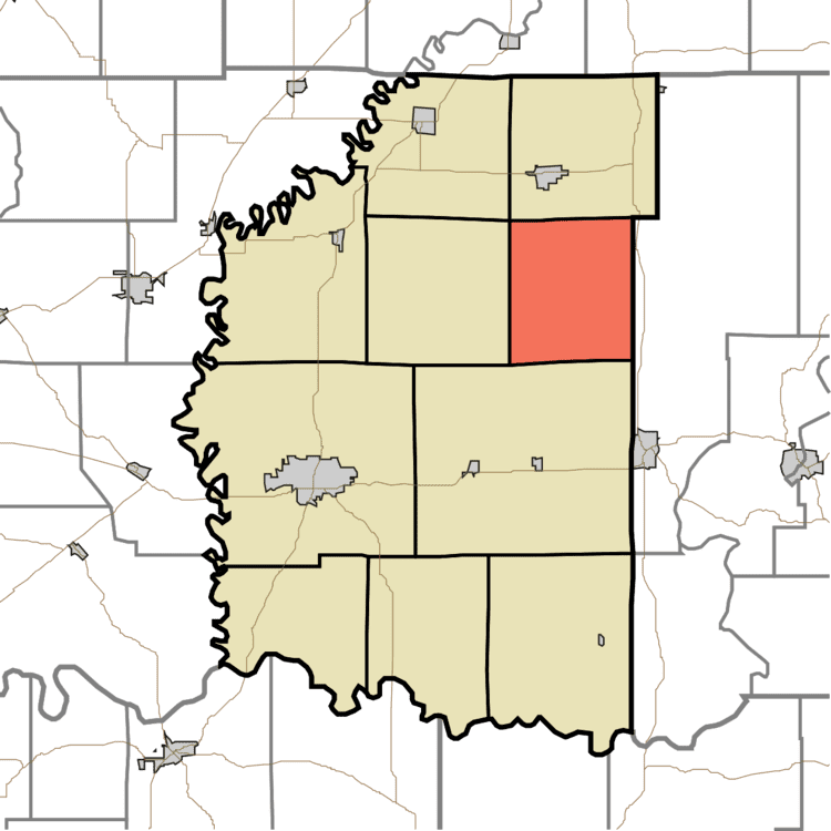
- Map of Van Buren Township IN USA
- History
- Geography
- Unincorporated towns
- Adjacent townships
- Cemeteries
- References
Map of Van Buren Township, IN, USA
History
Van Buren Township was organized in September 1841; the last township to be formed in Daviess County, it was created in response to a petition circulated among residents of parts of Barr and Madison townships, praying to be set off as a separate township. In the first years of settlement, present-day Van Buren Township attracted few pioneers; most individuals in the area were trappers or hunters, and permanent settlement only began in the late 1820s.
Geography
According to the 2010 census, the township has a total area of 30.86 square miles (79.9 km2), of which 30.22 square miles (78.3 km2) (or 97.93%) is land and 0.65 square miles (1.7 km2) (or 2.11%) is water.
Unincorporated towns
Adjacent townships
Cemeteries
The township contains five cemeteries: Evans Memorial Park, Franklin, Kilgore, Liberty and Stoll.