
Coordinates (West end) (East end) Length 189 km | Type Highway Highway system National Highway | |
 | ||
Major settlements | ||
Dukes highway australia couple having sex on google maps
The Dukes Highway is a 189 kilometre highway corridor in South Australia which is part of the link between the Australian cities of Adelaide and Melbourne. It is part of the National Highway system spanning Australia, and is signed as National Highway A8.
Contents
- Dukes highway australia couple having sex on google maps
- Map of Dukes Hwy South Australia Australia
- Route description
- History
- Major road accidents
- References
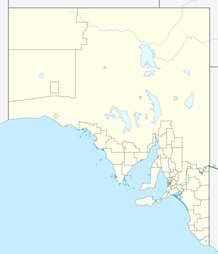
Map of Dukes Hwy, South Australia, Australia
Route description
The Dukes Highway starts in Tailem Bend on the Princes Highway and extends southeast to the state border near Bordertown, South Australia. The highway continues in Victoria as the Western Highway, with the same route signage (National A8). The length of the highway in South Australia is around 191 km, joining onto the Western Highway in Victoria which is 443 km. It is a single carriageway of one lane each way, plus a total of 36 overtaking lanes. Approximately 90 kilometres (56 mi) has "wide centre lines" providing a 1.2 metres (3 ft 11 in) boundary between traffic travelling in opposite directions.
Generally, the quality of the Dukes Highway is of a high standard, with the entire road having wide lane widths and sealed shoulders with at least five (and usually six) metres clear beyond the edge line. The final 17 km of the highway after Bordertown, was originally built on unstable ground but was re-constructed in 2005. There are a total of 16 rest areas or parking bays along the Dukes Highway, at approximately 15km intervals. Each one provides sealed parking space for at least four B-double trucks, with bins, tables, shelter and lighting.
History
The Dukes Highway runs through the northern part of the Limestone Coast region of South Australia. The route and many of the settlements (including Bordertown) were established in the 1850s to supply water to horses for the gold escorts from the Victorian goldfields to Adelaide.
Gold was taken to Adelaide rather than the closer Melbourne because a higher price was offered there. The higher price was offered to stop the South Australian economy from collapsing as all the labourers were heading to the Victorian Goldfields. The 'Bullion Act' was passed and an Assay office was established in Adelaide for the assaying and stamping of gold in 1852. It is claimed that this saved South Australia from bankruptcy.
In the latter half of the 20th century, the western end of the Dukes Highway was realigned to meet the Mallee Highway closer to Tailem Bend than it had previously when it ran north from Coomandook on the alignment that is now known as the Old Dukes Highway to Moorlands.
Major road accidents
The Dukes highway is the state's deadliest major road, with 28 deaths in the 5 years to 2009. This has led to calls for road improvements to separate traffic in each direction. Point-to-point speed cameras have been installed on one section of the highway to identify drivers who flaunt the speed limit. Parts of the highway have had wider centre lines installed with audio tactile treatment to help drivers to realise and recover from drifting across the centre line before they encounter an oncoming vehicle. This is intended to reduce fatigue and inattention-related crashes.
Motorists are advised to rest and recover at the many towns on the Dukes Highway, including Bordertown, Keith, Tintinara, Coonalpyn and Tailem Bend, where the Dukes Highway ends.