
Type Highway | Length 377 km | |
 | ||
Route number(s) B12 (1998-present)Entire route East end Murray Valley HighwayPiangil, Victoria Major settlements Lameroo, Pinnaroo, Ouyen, Manangatang | ||
Mallee highway touring route
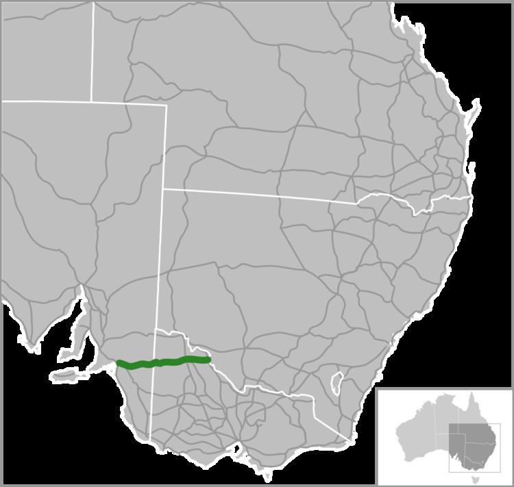
The Mallee Highway (formerly the Ouyen Highway in Victoria) is part of the shortest route between Adelaide and Sydney. It runs east from Tailem Bend in South Australia through cereal-growing farmland at the southern end of the Murray Mallee to Pinnaroo near the border with Victoria, where it crosses Pinaroo-Loxton and Pinaroo-Bordertown Road in Pinaroo. It continues in Victoria through Ouyen, where it crosses the Calder Highway (the old Ouyen Highway terminated at the Calder Highway and never proceeded east), and Piangil, where it crosses the Murray Valley Highway.
Contents
Map of Mallee Hwy, Australia
Route B12, however continues past the Mallee Highway terminus along the Murray Valley Highway for two kilometres north of Piangil, linking to Tooleybuc Road where it continues until it crosses the New South Wales border and the Murray River at Tooleybuc. The road then continues to Balranald, at the Murrumbidgee River (without the B12 designation). Tooleybuc Road terminates at the Sturt Highway which continues en route to Sydney via the Hume Highway or Mid-Western Highway.