
Postcode(s) 5301 Postal code 5301 | Elevation 12 m Local time Saturday 11:35 PM | |
 | ||
Weather 18°C, Wind E at 5 km/h, 48% Humidity | ||
Moorlands is a settlement in South Australia.
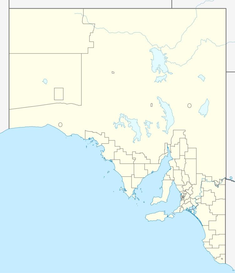
Map of Moorlands SA 5301, Australia
Moorlands is located east of Murray Bridge and has farms that cultivate wheat, sheep and other livestock. It is on the Mallee Highway and Pinnaroo railway line. Its name is believed to be derived from Moorlands near London in England.
Lignite coal was first discovered in the vicinity of Moorlands in 1910. Further exploration and assessment was conducted in the 1920s and 1940s. Despite apparent enthusiasm at the time, the Moorlands coalfield was never developed, with the state government choosing to develop the larger coal deposit at Leigh Creek instead.
References
Moorlands, South Australia Wikipedia(Text) CC BY-SA