Neha Patil (Editor)

Division No. 17, Alberta

Updated on
Edit
Like
Comment
Share on FacebookTweet on TwitterShare on LinkedInShare on Reddit
Country
  
Canada

Population
  
61,504 (2011)

University
  
Northern Lakes College

Area
  
192,116 kmĀ²

Province
  
Alberta

Team
  
Slave Lake Wolves

Division No. 17, Alberta

Points of interest
  
Mackenzie Crossroads Museum, HIgh Prairie & District M, Sagitawa Lookout, Winagami Lake Provincial

Destinations
  
Slave Lake, High Level, High Prairie, Lesser Slave Lake, Manning

Division No. 17 is a census division in Alberta, Canada. It spans the central and northwest portions of northern Alberta and its largest urban community is the Town of Slave Lake. Division No. 17 is the largest census division in Alberta according to area and also has the lowest population density.

Contents

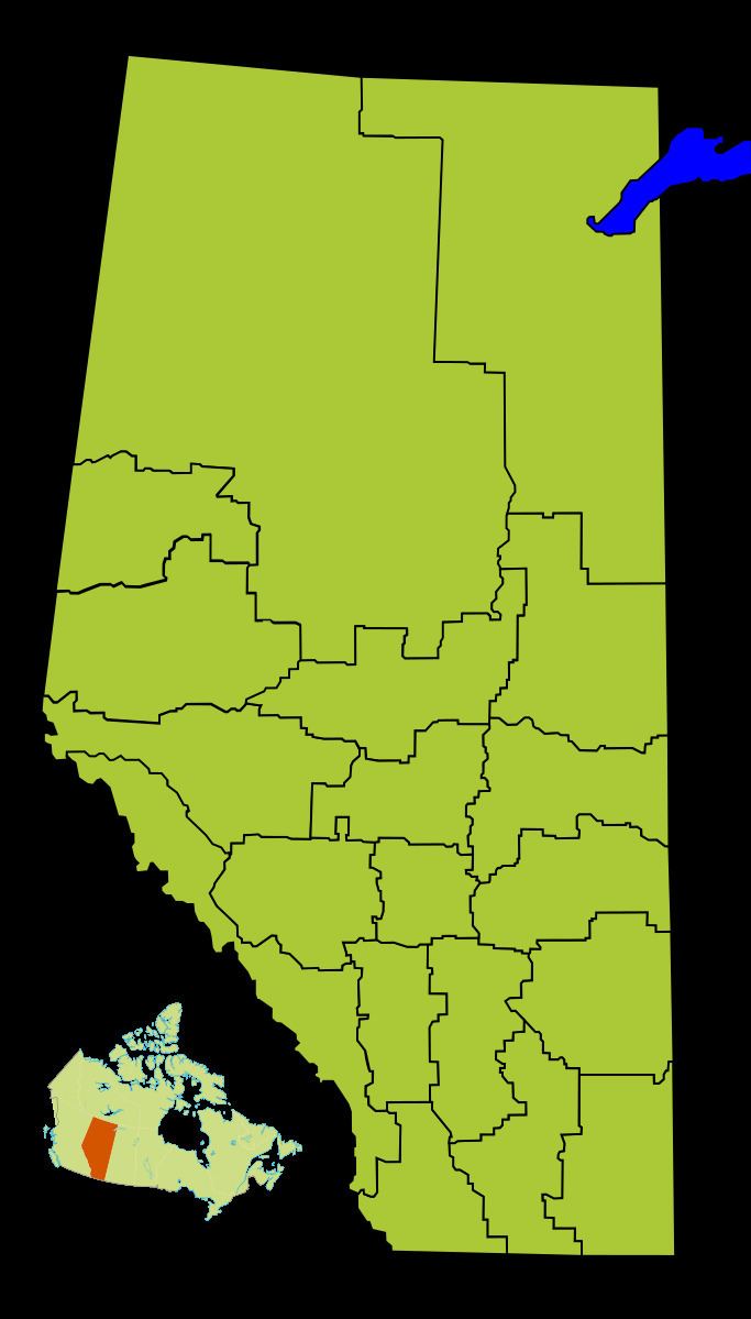
Map of Division No. 17, AB, Canada

Census subdivisions

The following census subdivisions (municipalities or municipal equivalents) are located within Alberta's Division No. 17.

  • Towns
  • High Level
  • High Prairie
  • Manning
  • Rainbow Lake
  • Slave Lake
  • Swan Hills
  • Villages
  • Hines Creek
  • Nampa
  • Specialized municipalities
  • Mackenzie County
  • Municipal districts
  • Big Lakes County
  • Clear Hills County
  • Lesser Slave River No. 124, M.D. of
  • Northern Lights, County of
  • Northern Sunrise County
  • Opportunity No. 17, M.D. of
  • Indian reserves
  • Beaver Ranch 163
  • Boyer 164
  • Bushe River 207
  • Child Lake 164A
  • Clear Hills 152C
  • Drift Pile River 150
  • Fort Vermilion 173B
  • Fox Lake 162
  • Hay Lake 209
  • Jean Baptiste Gambler 183
  • John d'Or Prairie 215
  • Kapawe'no First Nation
  • Freeman 150B
  • Grouard 230
  • Halcro 150C
  • Pakashan 150D
  • Loon Lake 235
  • Sawridge 150G
  • Sawridge 150H
  • Sucker Creek 150A
  • Swan River 150E
  • Tall Cree 173
  • Tall Cree 173A
  • Upper Hay River 212
  • Utikoomak Lake 155
  • Utikoomak Lake 155A
  • Wabasca 166
  • Wabasca 166A
  • Wabasca 166B
  • Wabasca 166C
  • Wabasca 166D
  • Woodland Cree 226
  • Woodland Cree 228
  • Indian settlements
  • Carcajou 187
  • Desmarais
  • Little Buffalo
  • Demographics

    In the 2011 Census, Division No. 17 had a population of 61,504 living in 19,572 of its 22,683 total dwellings, a 3.7% change from its 2006 population of 59,282. With a land area of 192,116 km2 (74,176 sq mi), it had a population density of 0.3 people per square kilometre in 2011.

    In 2006, Division No. 17 had a population of 59,282 living in 21,347 dwellings, a 3.1% increase from 2001. The census division has a land area of 192,084.34 km2 (74,164.18 sq mi) and a population density of 0.3 inhabitants per square kilometre.

    References

    Division No. 17, Alberta Wikipedia