
Country Canada Census division 17 Time zone MST (UTC-7) Area 11.04 km² Population 795 (2016) | Postal code span T0H Elevation 530 m Local time Thursday 10:56 AM Number of airports 1 | |
 | ||
Weather -10°C, Wind E at 13 km/h, 81% Humidity | ||
Rainbow Lake is a town in northwest Alberta, Canada. It is located west of High Level at the end of Highway 58, in Mackenzie County.
Contents
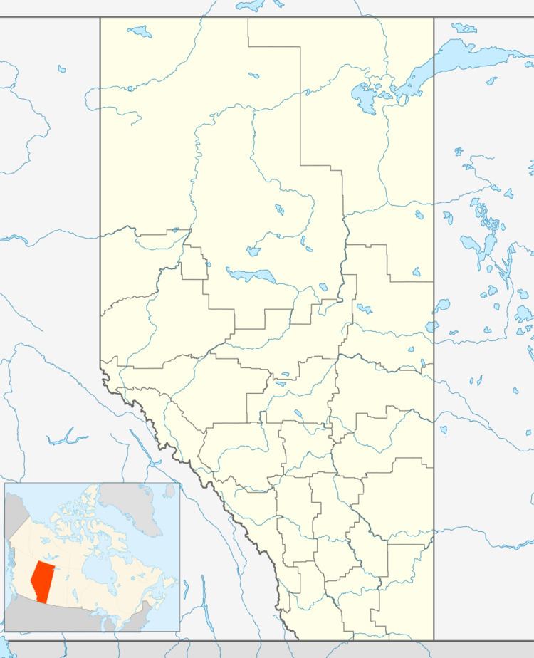
Map of Rainbow Lake, AB, Canada
The town carries the name of the nearby lake, formed on the Hay River, that was so called due to its curved shape.
Demographics
In the 2016 Census of Population conducted by Statistics Canada, the Town of Rainbow Lake recorded a population of 795 living in 303 of its 475 total private dwellings, a change of 2999140000000000000♠−8.6% from its 2011 population of 870. With a land area of 10.76 km2 (4.15 sq mi), it had a population density of 73.9/km2 (191.4/sq mi) in 2016.
The population of the Town of Rainbow Lake according to its 2015 municipal census is 938, a change of 2998867000000000000♠−13.3% from its 2007 municipal census population of 1,082.
In the 2011 Census, the Town of Rainbow Lake had a population of 870 living in 305 of its 424 total dwellings, a change of -9.8% from its 2006 population of 965. With a land area of 11.04 km2 (4.26 sq mi), it had a population density of 78.8/km2 (204.1/sq mi) in 2011.
Infrastructure
The community is served by the Rainbow Lake Airport (IATA: YOP, ICAO: CYOP).
Education
The town is home to the Rainbow Lake School operated by the Fort Vermilion School Division, which offers curriculum for kindergarten through grade 12.