
Country Canada Time zone MST (UTC-7) Local time Thursday 5:04 PM | Census division No. 17 Area 22.61 km² Province Alberta | |
 | ||
Municipal district County of Northern Lights Weather -13°C, Wind E at 8 km/h, 85% Humidity | ||
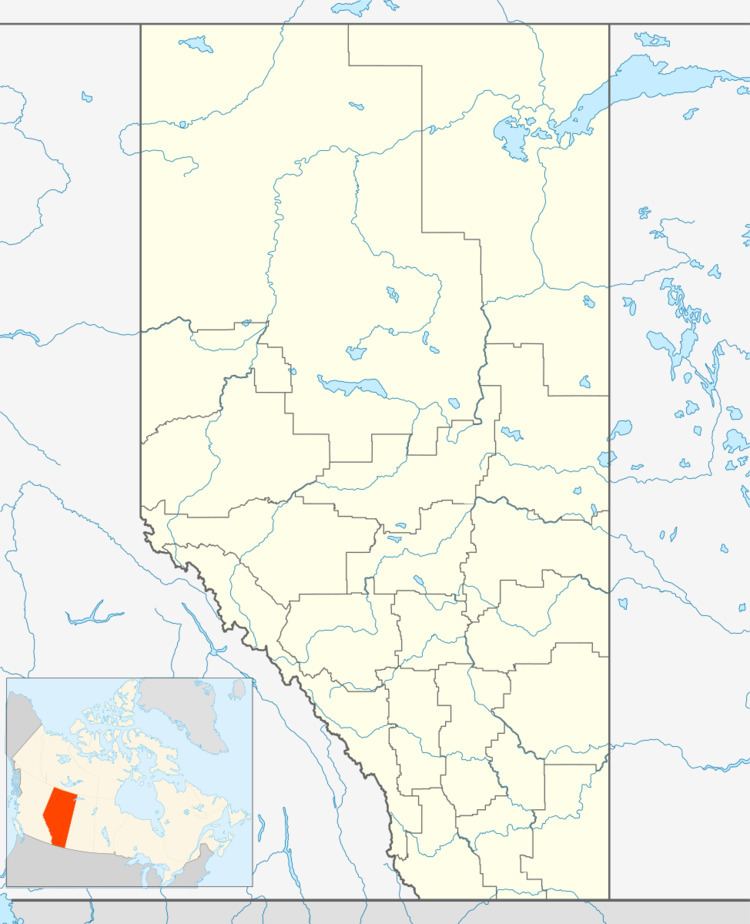
Carcajou is an unincorporated community in Alberta, Canada. It is located in northern Alberta, on the banks of the Peace River, north of Manning. Carcajou is a French word meaning wolverine.
Contents
Map of Carcajou, AB, Canada
Carcajou is located in census division No. 17 and is administered by the County of Northern Lights.
Demographics
Statistics Canada has not recently published a population for Carcajou.
However, Industry Canada shows that Carcajou's greater rural area had a total population of 20 living in 7 dwellings in 2001. With a land area of 22.61 km2 (8.73 sq mi), its greater rural area has a population density of 0.9/km2 (2.3/sq mi).
References
Carcajou, Alberta Wikipedia(Text) CC BY-SA