
Country Canada Census Division No. 17 Time zone MST (UTC-7) Elevation 655 m Population 346 (2016) Province Alberta | Highways 64 Area 4.37 km² Local time Saturday 4:32 PM | |
 | ||
Weather -14°C, Wind NE at 16 km/h, 63% Humidity | ||
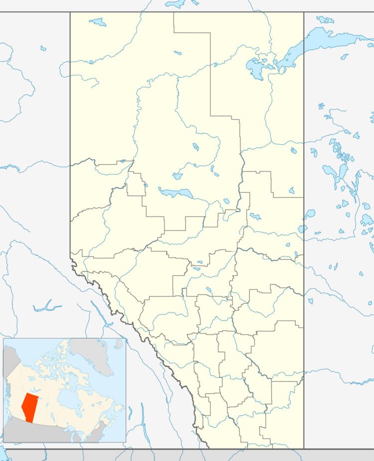
HInes Creek is a village in northern Alberta, Canada. It is located 67 km west of Grimshaw and 28 km north of Fairview, along Highway 64.
Contents
Map of Hines Creek, AB, Canada
Demographics
In the 2016 Census of Population conducted by Statistics Canada, the Village of Hines Creek recorded a population of 346 living in 146 of its 151 total private dwellings, a change of 2999109999999999999♠−8.9% from its 2011 population of 380. With a land area of 5.33 km2 (2.06 sq mi), it had a population density of 64.9/km2 (168.1/sq mi) in 2016.
In the 2011 Census, the Village of Hines Creek had a population of 380 living in 147 of its 157 total dwellings, a change of -11.6% from its 2006 population of 430. With a land area of 4.37 km2 (1.69 sq mi), it had a population density of 87.0/km2 (225.2/sq mi) in 2011.
The population of the Village of Hines Creek according to its 2010 municipal census is 396.
Education
Hines Creek Composite School is the only school in Hines Creek and features Grade K-12. It is administered by the Peace River School Division.
Post secondary education is available in the neighbouring town of Fairview at Grande Prairie Regional Fairview Campus.