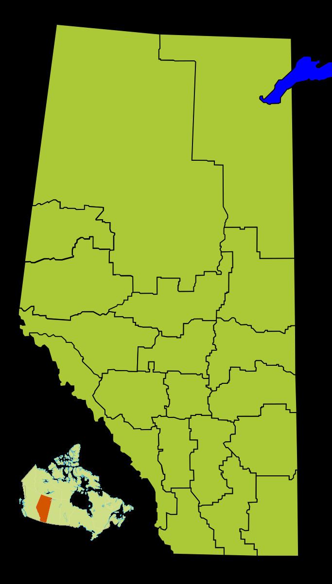
Population 93,039 (2011) | Area 20,450 km² | |
 | ||
Points of interest Elk Island National Park, Bud Miller All Seasons, Ukrainian Cultural Heritage, Vegreville egg, Vermilion Provincial Park Colleges and Universities Lakeland College, Augustana University College, Reeves College - Lloydminster | ||
Division No. 10 is a census division in Alberta, Canada. It is located in the east-central portion of central Alberta and includes Alberta's portion of the City of Lloydminster.
Contents
Map of Division No. 10, AB, Canada
Census subdivisions
The following census subdivisions (municipalities or municipal equivalents) are located within Alberta's Division No. 10.
Demographics
In the 2011 Census, Division No. 10 had a population of 93,039 living in 36,620 of its 40,083 total dwellings, a 7.2% change from its 2006 population of 86,796. With a land area of 20,450 km2 (7,900 sq mi), it had a population density of 4.5 people per square kilometre in 2011.
In 2006, Division No. 10 had a population of 86,796 living in 36,102 dwellings, a 4.5% increase from 2001. The census division has a land area of 20,451.56 km2 (7,896.39 sq mi) and a population density of 4.2 inhabitants per square kilometre.
