
Country Canada Census division 10 Time zone MST (UTC-7) Elevation 670 m Local time Sunday 7:59 AM | Highways Highway 15Highway 834 Population 274 (2016) Province Alberta | |
 | ||
Weather -18°C, Wind SW at 2 km/h, 81% Humidity | ||
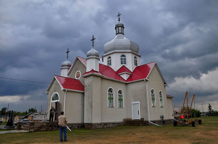
Chipman is a village in central Alberta, Canada within Lamont County and Census Division No. 10. It is located on Highway 15, approximately 11 km (7 mi) southeast of Lamont, 22 km (14 mi) northwest of Mundare, 70 km (44 mi) east of Edmonton, and 30 km (18 mi) northeast of the Yellowhead Highway entrance to Elk Island National Park.
Contents
Map of Chipman, AB, Canada
History
Chipman was incorporated as a village on October 21, 1913. The village has the name of Clarence Campbell Chipman, a railroad official.
Surrounding area
L.I.D. 27N4 administered the Chipman-Mundare area upon its first meeting July 14, 1906 with Councillors Michael Eleniuk (chairman), J. Wilinski, P. Bahry, and H. Theis (secretary treasurer). Councillors were paid $2 per day and the secretary treasurer’s salary was originally $100. On January 25, 1913, the area became the M.D. of Pines No. 516 with Councillors A. Achtemychuk (chairman), E. Halberg, M. Kozak, W. Miskew, J. Jakubec and A. Lappenbush. M. Korczynski was secretary treasurer.
In March 1944, the M.D. of Pines No. 516 was united with the municipal districts of Wostok and Leslie to form the M.D. of Lamont No. 516. It was later renumbered as M.D. of Lamont No. 82 on April 1, 1945.
On January 1, 1968, the County of Lamont No. 30 was incorporated through the unification of the Lamont School Division No. 18 and the M.D. of Lamont No. 82. It was eventually renamed to Lamont County on January 1, 2000.
Demographics
In the 2016 Census of Population conducted by Statistics Canada, the Village of Chipman recorded a population of 274 living in 124 of its 145 total private dwellings, a 2999650000000000000♠−3.5% change from its 2011 population of 284. With a land area of 9.61 km2 (3.71 sq mi), it had a population density of 28.5/km2 (73.8/sq mi) in 2016.
In the 2011 Census, the Village of Chipman had a population of 284 living in 134 of its 144 total dwellings, a 12.3% change from its 2006 adjusted population of 253. With a land area of 9.61 km2 (3.71 sq mi), it had a population density of 29.6/km2 (76.5/sq mi) in 2011.
The population of the Village of Chipman according to its 2009 municipal census is 294.
In 2006, Chipman had a population of 238 living in 113 dwellings, a 3.6% decrease from 2001. The village has a land area of 0.62 square kilometres (0.24 sq mi) and a population density of 384.6/km2 (996/sq mi).