
Country Canada Census division 10 Highways Highway 16Highway 881 Elevation 625 m Local time Monday 3:01 AM | Time zone MST (UTC−7) Area 215 ha Population 828 (2016) Province Alberta | |
 | ||
Weather -3°C, Wind W at 19 km/h, 78% Humidity | ||
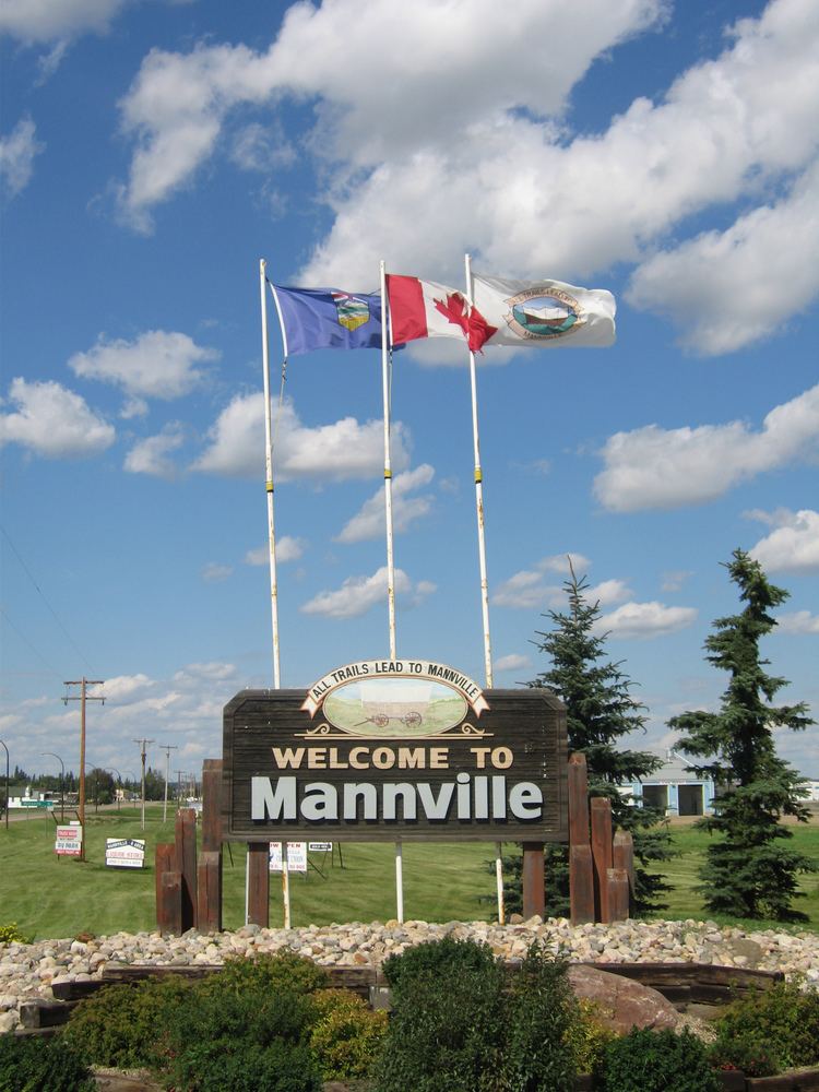
Mannville is a village in central Alberta, Canada. It is located at the intersection of the Yellowhead Highway and Highway 881, approximately 22 kilometres (14 mi) west of Vermilion and 170 kilometres (110 mi) east of Edmonton. Its primary industry is agriculture
Contents
Map of Mannville, AB, Canada
History
The settlement was named for Sir Donald Mann, vice-president of the Canadian Northern Railway.
The Mannville Group, an oil and gas bearing unit of the Western Canadian Sedimentary Basin, was named for the village by A.W. Nauss in 1945.
Demographics
In the 2016 Census of Population conducted by Statistics Canada, the Village of Mannville recorded a population of 828 living in 341 of its 377 total private dwellings, a 7000310000000000000♠3.1% change from its 2011 population of 803. With a land area of 1.64 km2 (0.63 sq mi), it had a population density of 504.9/km2 (1,307.6/sq mi) in 2016.
In the 2011 Census, the Village of Mannville had a population of 803 living in 355 of its 382 total dwellings, a 2.7% change from its 2006 population of 782. With a land area of 2.15 km2 (0.83 sq mi), it had a population density of 373.5/km2 (967.3/sq mi) in 2011.
The population of the Village of Mannville according to its 2009 municipal census is 761.
In 2006, Mannville had a population of 782 living in 388 dwellings, an 8.3% increase from 2001. The village has a land area of 2.15 km2 (0.83 sq mi) and a population density of 363.9/km2 (942/sq mi) inhabitants.