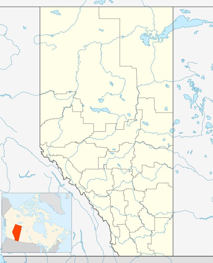
Country Canada Census division 10 Time zone MST (UTC-7) Area 36 ha Population 151 (2016) Province Alberta | Highways Highway 56 Elevation 758 m Local time Friday 10:44 PM Waterway Driedmeat Lake | |
 | ||
Weather -20°C, Wind E at 8 km/h, 77% Humidity | ||
Edberg is a village in central Alberta approximately 31 km (19 mi) south of Camrose.
Contents
Map of Edberg, AB, Canada
Johan Edstrom, an early postmaster, named the village after himself.
Demographics
In the 2016 Census of Population conducted by Statistics Canada, the Village of Edberg recorded a population of 151 living in 61 of its 65 total private dwellings, a 2998899000000000000♠−10.1% change from its 2011 population of 168. With a land area of 0.35 km2 (0.14 sq mi), it had a population density of 431.4/km2 (1,117.4/sq mi) in 2016.
In the 2011 Census, the Village of Edberg had a population of 168 living in 68 of its 70 total dwellings, an 8.4% change from its 2006 population of 155. With a land area of 0.36 km2 (0.14 sq mi), it had a population density of 466.7/km2 (1,208.7/sq mi) in 2011.
In 2006, Edberg had a population of 155 living in 63 dwellings, a 3.3% increase from 2001. The village has a land area of 0.36 km2 (0.14 sq mi) and a population density of 434.4/km2 (1,125/sq mi).
