Country Canada Time zone MST (UTC-7) Elevation 686 m Population 350 (2016) Local time Monday 5:21 AM | Postal Code T0B 2C0 Area 170 ha Province Alberta Area code 780 | |
 | ||
Weather -16°C, Wind SE at 23 km/h, 82% Humidity | ||
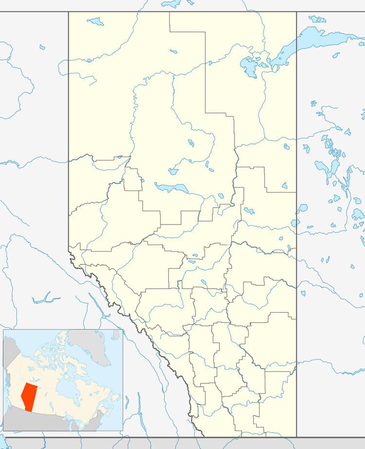
Holden is a village in central Alberta, Canada. It is located south of Vegreville. The village is named after former Alberta MLA James Holden.
Contents
Map of Holden, AB, Canada
Demographics
In the 2016 Census of Population conducted by Statistics Canada, the Village of Holden recorded a population of 350 living in 146 of its 167 total private dwellings, a change of 2999190000000000000♠−8.1% from its 2011 population of 381. With a land area of 1.74 km2 (0.67 sq mi), it had a population density of 201.1/km2 (521.0/sq mi) in 2016.
In the 2011 Census, the Village of Holden had a population of 381 living in 182 of its 213 total dwellings, a change of -4.3% from its 2006 population of 398. With a land area of 1.7 km2 (0.66 sq mi), it had a population density of 224.1/km2 (580.5/sq mi) in 2011.
Notable people
References
Holden, Alberta Wikipedia(Text) CC BY-SA
