
Country Canada Census division No. 10 Incorporated 1958 Population 5,905 (2016) | Established 1943 Time zone MST (UTC-7) Capital Ryley | |
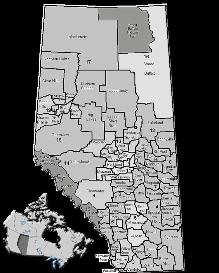 | ||
Beaver County is a municipal district in central-east Alberta, Canada. It is centred on Holden in the western part of Census Division No. 10. Its municipal office is located in Ryley.
Contents
Map of Beaver County, AB, Canada
Beaver County was incorporated as a municipal district on July 31, 1999, and the name was changed from "County of Beaver No. 9" to "Beaver County".
Demographics
In the 2016 Census of Population conducted by Statistics Canada, Beaver County recorded a population of 5,905 living in 2,177 of its 2,381 total private dwellings, a 7000380000000000000♠3.8% change from its 2011 population of 5,689. With a land area of 3,317.57 km2 (1,280.92 sq mi), it had a population density of 1.8/km2 (4.6/sq mi) in 2016.
In the 2011 Census, Beaver County had a population of 5,689 living in 2,109 of its 2,324 total dwellings, a 0.2% change from its 2006 population of 5,676. With a land area of 3,315.84 km2 (1,280.25 sq mi), it had a population density of 1.7/km2 (4.4/sq mi) in 2011.
In 2009, Beaver County had a population of 5,630 living in 2,291 dwellings.
In 2006, Beaver County had a population of 5,676 living in 2,126 dwellings, a 0.6% increase from 2001. The county has a land area of 3,319.10 km2 (1,281.51 sq mi) and a population density of 1.7/km2 (4.4/sq mi).
In 2001, 5,644 people were living in 2,094 dwellings, a 0.3% decrease in population from 1996. With a land area of 3,316.68 km², Beaver County had a population density of 1.7 /km².
Attractions
Two parks with campgrounds are located in the county's limits, Black Nugget Lake (located between Tofield and Ryley, south of Highway 14) and Camp Lake (located east of Viking, between Kinsella and Innisfree).