
Country Canada Census division No. 10 Incorporated 1963 Population 8,458 (2016) | Established 1944 Time zone MST (UTC-7) Local time Tuesday 10:43 AM | |
 | ||
Weather -16°C, Wind NW at 19 km/h, 69% Humidity | ||
Camrose County is a municipal district in central Alberta, Canada. It is located in Census Division 10, around the City of Camrose.
Contents
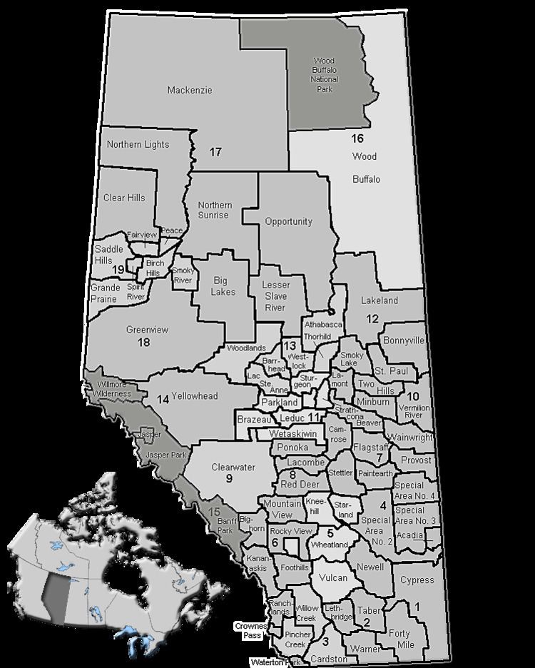
Map of Camrose County No. 22, AB, Canada
Demographics
In the 2016 Census of Population conducted by Statistics Canada, Camrose County recorded a population of 8,458 living in 3,118 of its 3,492 total private dwellings, a 7000570000000000000♠5.7% change from its 2011 population of 8,004. With a land area of 3,324.21 km2 (1,283.48 sq mi), it had a population density of 2.5/km2 (6.6/sq mi) in 2016.
In the 2011 Census, Camrose County had a population of 7,721 living in 2,861 of its 3,173 total dwellings, an 8% change from its 2006 adjusted population of 7,150. With a land area of 3,320.61 km2 (1,282.09 sq mi), it had a population density of 2.3/km2 (6.0/sq mi) in 2011. Following the Village of New Norway's dissolution in 2012, Statistics Canada adjusted Camrose County's 2011 population by an additional 283 people to 8,004.
The population of Camrose County according to its 2008 municipal census is 7,577.
In 2006, Camrose County had a population of 7,160 living in 2,754 dwellings, a 1.6% decrease from 2001. The county had a land area of 3,331.98 km2 (1,286.48 sq mi) and a population density of 2.1/km2 (5.4/sq mi).
Top 5 Largest Ancestries are Scandinavian (33.3%), German (33.2%), English (25.6%), Scottish (14.9%), Irish (14.7%).
In 2001, Camrose County had a population of 7,294 in 2,847 dwellings, a 4.2% decrease from 1996. On a surface of 3,336.31 km² it has a density of 2.2 inhabitants/km².
Communities and localities
The following urban municipalities are surrounded by Camrose County:
The following localities are located within Camrose County: