
Population 11,462 (2015 est) Mayor Leon Stasinowsky Founded 3 May 1997 | Established 3 May 1997 Region Murray and Mallee Area 7,957 km² | |
 | ||
Points of interest The Village, The Pines Loxton Historic H, Ramco Point, Loxton Rose Garden | ||
The District Council of Loxton Waikerie is a local government area in the Murray Mallee region of South Australia. The council seat lies at Loxton, while it maintains a branch office at Waikerie.
Contents
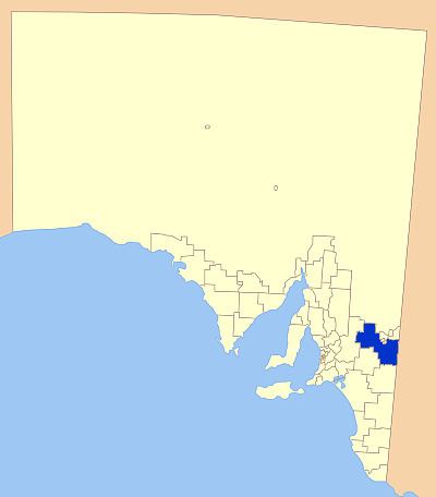
Map of DC of Loxton Waikerie, SA, Australia
The council was formed on 3 May 1997 as an amalgamation of the District Council of Brown's Well, the District Council of Loxton and the District Council of Waikerie.
It includes the towns and localities of Alawoona, Boolgun, Bakara Well, Billiatt, Bookpurnong, Bugle Hut, Caliph, Devlins Pound, Golden Heights, Good Hope Landing, Holder, Holder Siding, Kanni, Kingston On Murray, Kringin, Loxton, Loxton North, Lowbank, Maggea, Malpas, Markaranka, Meribah, Moorook, Moorook South, Naidia, New Residence, New Well, Notts Well, Paisley, Paruna, Pata, Peebinga, Pooginook, Pyap, Pyap West, Qualco, Ramco, Ramco Heights, Schell Well, Stockyard Plain, Sunlands, Taldra, Taplan, Taylorville, Taylorville Station, Veitch, Waikerie, Wappilka, Wigley Flat, Woodleigh, Woolpunda, Wunkar and Yinkanie, and parts of Galga, Mantung, Mercunda, Murbko and Westons Flat.
Councillors
The District Council of Loxton Waikerie has a directly-elected mayor.