
Population 168 (2006 census) Local time Friday 3:00 PM | Postcode(s) 5322 Postal code 5322 | |
 | ||
Weather 31°C, Wind NE at 8 km/h, 35% Humidity | ||
Ramco is a town in the Riverland region of South Australia 170 kilometres (110 mi) north-east of the state capital, Adelaide and 7 kilometres (4.3 mi) west of Waikerie. At the 2006 census, Ramco had a population of 168.
Map of Ramco SA 5322, Australia
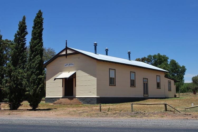
Ramco has a post office, a Lutheran church, a town hall and a school, Ramco Primary School. The current town was surveyed in 1940 however there was an earlier village settlement by the same name in the same area, settled in 1894.
The name Ramco is derived from an Aboriginal word "Bogorampko", a mythical tribe supposed to be superior to all natives.
References
Ramco, South Australia Wikipedia(Text) CC BY-SA