
Established 1925 Founded 1925 Local time Thursday 10:27 PM | Postcode(s) 5311 Postal code 5311 | |
 | ||
Weather 16°C, Wind NE at 10 km/h, 43% Humidity | ||
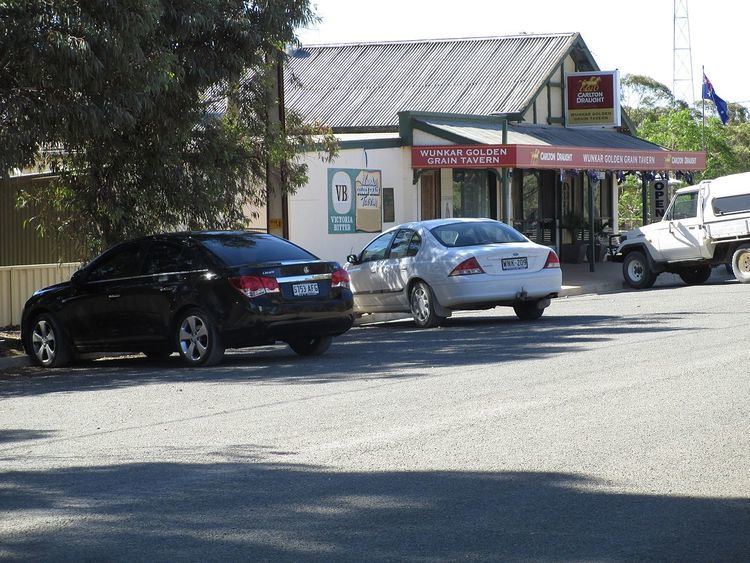
Wunkar is a small town in the Murray Mallee region of South Australia. Wunkar was originally a station on the Moorook railway line. The town was surveyed in 1926 after the railway station name was approved in 1925. The railway closed in 1971. Wunkar now lies adjacent to the Stott Highway approximately 27 km west of Loxton. There are bulk grain silos at the former railway station. The school opened in 1925 and closed in 1973.
Map of Wunkar SA 5311, Australia
References
Wunkar, South Australia Wikipedia(Text) CC BY-SA