
Postcode(s) 5333 Elevation 68 m Local time Monday 6:25 AM | Time zone ACST (UTC+9:30) Taplan Murray-Sunset Postal code 5333 | |
 | ||
Weather 28°C, Wind N at 19 km/h, 36% Humidity | ||
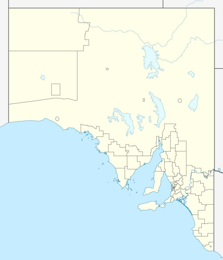
Taplan (postcode 5333) is a town in the Murray Mallee region of South Australia near the border with Victoria. Taplan is an aboriginal word meaning grass tree. The town was laid out by Henry George in 1914. The railway from Adelaide to Paringa was laid past the site of the future township in 1913, 183.25 miles (294.91 km) by rail from Adelaide.
Map of Taplan SA 5311, Australia
References
Taplan, South Australia Wikipedia(Text) CC BY-SA