
Postcode(s) 5308 Postal code 5308 | Time zone ACST (UTC+9:30) Mantung Caliph | |
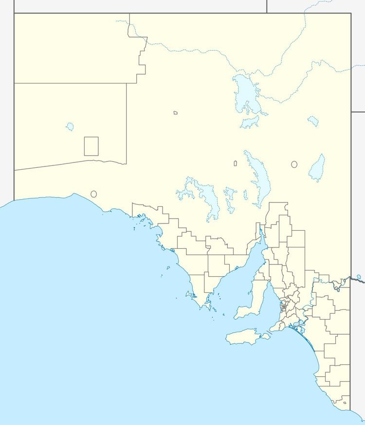 | ||
Location 40 km (25 mi) east of Swan Reach LGA(s) Karoonda East MurrayLoxton Waikerie | ||
Mantung is a wheat farming area, once a Hundred in the State of South Australia, around 40 km east of Swan Reach, and a similar distance from Loxton.
Map of Mantung SA 5308, Australia
"Mantung" is reported as the Aboriginal name of a waterhole in the area. A school opened there in 1921 and closed in 1944.
Mantung was one of the towns along the Waikerie railway line after it opened in 1914. The town was surveyed in 1915. Despite the railway closing around 1990, the town hall has continued to be used by the community.
The historic Elizabeth Well Ruins are listed on the South Australian Heritage Register.
References
Mantung, South Australia Wikipedia(Text) CC BY-SA