
Surface elevation 1,626 m Shore length 33.8 km | Primary inflows Basin countries United States Catchment area 286.7 km² Inflow source Deadwood River | |
 | ||
Water volume 3,180 acres (12.9 km; 5.0 sq mi) Similar Boise National Forest, Anderson Ranch Dam, Arrowrock Dam, American Falls Dam, Lucky Peak Dam | ||
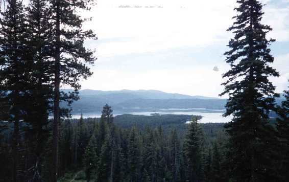
Visit the deadwood lookout and campgrounds at deadwood reservoir in idaho
Deadwood Reservoir is a reservoir in the western United States, in Valley County, Idaho. Located in the mountains of the Boise National Forest about 25 miles (40 km) southeast of Cascade, the 3,000-acre (12 km2) body on the Deadwood River is created by Deadwood Dam. The river flow south from the dam and is a tributary of the South Fork of the Payette River. The reservoir and vicinity is commonly used for camping, water skiing, fishing, canoeing, and other outdoor recreation. The full pool surface elevation is just above a mile-high at 5,334 ft (1,626 m) above sea level.
Contents
- Visit the deadwood lookout and campgrounds at deadwood reservoir in idaho
- Map of Deadwood Reservoir Idaho USA
- Cozy cove campground at deadwood reservoir in idaho
- Summer
- Plant life
- Fish
- Mammals
- Reptiles
- Birds
- Video
- References
Map of Deadwood Reservoir, Idaho, USA
Approved by President Coolidge in 1928, the isolated site required substantial road building. Construction of the concrete arch dam itself began in late 1929 and was completed in March 1931.
Cozy cove campground at deadwood reservoir in idaho
Summer
The temperature can get hot in late July and early August. Rain and wind may frequent the area unpredictably. The climate is much like that of other high mountain lakes in Idaho.