
 | ||
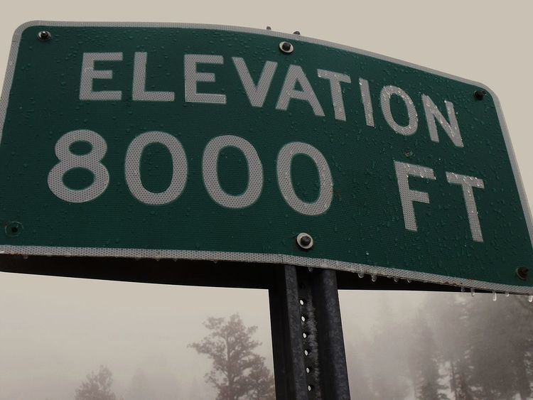
The elevation of a geographic location is its height above or below a fixed reference point, most commonly a reference geoid, a mathematical model of the Earth's sea level as an equipotential gravitational surface (see Geodetic system, vertical datum). Elevation, or geometric height, is mainly used when referring to points on the Earth's surface, while altitude or geopotential height is used for points above the surface, such as an aircraft in flight or a spacecraft in orbit, and depth is used for points below the surface.
Contents
Elevation is not to be confused with the distance from the center of the Earth; due to equatorial bulge, the summits of Mt. Everest and Chimborazo have, respectively, the largest elevation and the largest geocentric distance.
Maps and GIS
GIS or geographic information system is a computer system that allows for visualizing, manipulating, capturing, and storage of data with associated attributes. GIS offers better understanding of patterns and relationships of the landscape at different scales. Tools inside the GIS allow for manipulation of data for spatial analysis or cartography.
A topographical map is the main type of map used to depict elevation, often through use of contour lines. In a Geographic Information System (GIS), digital elevation models (DEM) are commonly used to represent the surface (topography) of a place, through a raster (grid) dataset of elevations. Digital terrain models are another way to represent terrain in GIS.
USGS (United States Geologic Survey) is developing a 3D Elevation Program (3DEP) to keep up with growing needs for high quality topographic data. 3DEP is a collection of enhanced elevation data in the form of high quality LiDAR data over the conterminous United States, Hawaii, and the U.S. territories. There are three bare earth DEM layers in 3DEP which are nationally seamless at the resolution of 1/3, 1, and 2 arcseconds.
Global 1-kilometer map
This map is derived from GTOPO30 data that describes the elevation of Earth's terrain at intervals of 30 arcseconds (approximately 1 km). It uses color and shading instead of contour lines to indicate elevation.
Hypsography
Hypsography is the study of the distribution of elevations on the surface of the Earth, although the term is sometimes also applied to other rocky planets such as Mars or Venus. The term originates from the Greek word ὕψος "hypsos" meaning height. Most often it is used only in reference to elevation of land but a complete description of Earth's solid surface requires a description of the seafloor as well. Related to the term hypsometry, the measurement of these elevations of a planet's solid surface are taken relative to mean datum, except for Earth which is taken relative to the sea level.
Temperature
In the troposphere, temperatures decrease with altitude. This lapse rate is approximately 6.5 °C/km.