
- location Deadwood Summit - elevation 3,700 ft (1,128 m) Country United States of America | - elevation 6,965 ft (2,123 m) Basin area 282.3 km² | |
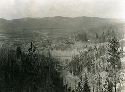 | ||
The Deadwood River is a 43.5-mile (70.0 km) tributary of the South Fork Payette River, flowing through Boise National Forest in Valley and Boise counties, Idaho in the United States. It joins the South Fork Payette River about 3 miles (4.8 km) east of Lowman. The source of the Deadwood River is below Deadwood summit on forest road 579 in the Salmon River Mountains. The Deadwood Dam was completed in 1931 and impounded the river to form Deadwood Reservoir.
Map of Deadwood River, Idaho, USA
References
Deadwood River (Idaho) Wikipedia(Text) CC BY-SA