
Vehicle registration JH Elevation 548 m | Time zone IST (UTC+5:30) Coastline 0 kilometres (0 mi) Local time Saturday 4:26 AM | |
 | ||
Weather 21°C, Wind NE at 2 km/h, 54% Humidity | ||
Daru-Kharika is a village in Hazaribagh district of Jharkhand state of India.
Contents
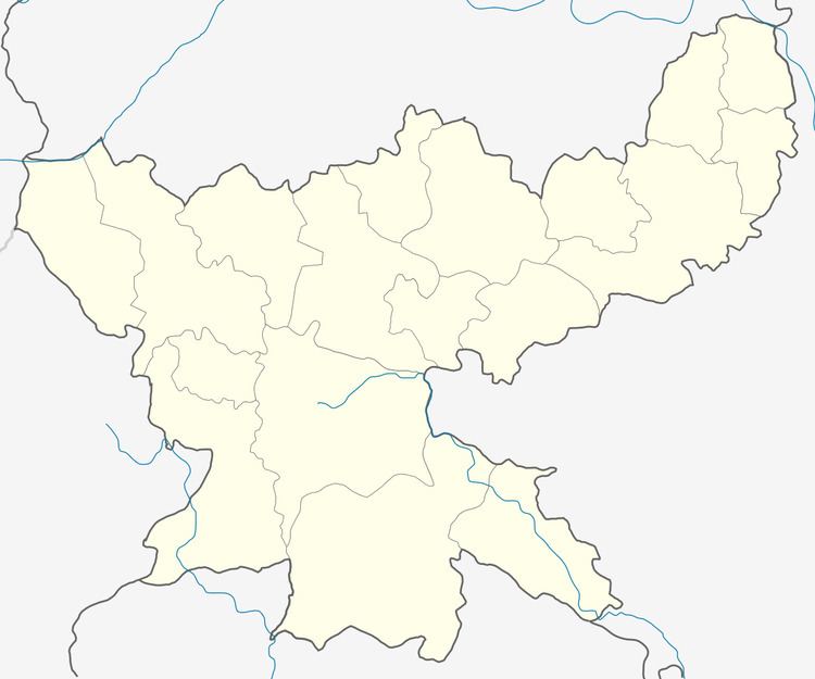
Map of Daru Kharika, Jharkhand 825313
Geography
It is located at 24°1′0″N 85°33′0″E at an elevation of 548 m above MSL.
Location
National Highway 100 passes through it. It is at a distance of 20 km from Hazaribagh. The nearest airport is Ranchi Airport.
Demographics
As per 2011 Census of India Darukharika had a population of 1,349. There were 681 males and 661 females. Scheduled Castes numbered 87. Daru, an adjacent village, had a population of 4,681. There were 2,409 males and 2,272 females. Scheduled Castes numbered 1,106.
Literacy
As per 2011 census the total number of literates in Darukharika was 935 out of which 526 were males and 409 were females. The total number of literates in Daru was 2,943 out of which 1,714 were males and 1,229 were female.