
Country United States County Bartholomew ZIP codes 47201, 47203 Local time Wednesday 9:28 PM | Elevation 617 ft (188 m) GNIS feature ID 0453243 Population 45,578 (2010) | |
 | ||
Weather 10°C, Wind S at 8 km/h, 38% Humidity Points of interest Mill Race Park, Kidscommons Children's Museum, Lincoln Park, Miller House, First Christian Church | ||
Columbus Township is one of twelve townships in Bartholomew County, Indiana, United States. As of the 2010 census, its population was 45,578 and it contained 20,516 housing units.
Contents
- Map of Columbus Township IN USA
- History
- Geography
- Cities towns villages
- Unincorporated towns
- Adjacent townships
- Cemeteries
- Major highways
- Airports and landing strips
- Rivers
- Lakes
- Landmarks
- School districts
- Political districts
- References
Map of Columbus Township, IN, USA
History
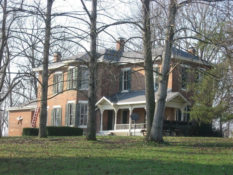
The David Aikens House, D.W. Heagy Farm, New Hope Bridge, and James Marr House and Farm are listed on the National Register of Historic Places.
Geography
According to the 2010 census, the township has a total area of 55.61 square miles (144.0 km2), of which 54.94 square miles (142.3 km2) (or 98.80%) is land and 0.66 square miles (1.7 km2) (or 1.19%) is water. Camp Atterbury borders the township to the northwest.
Cities, towns, villages
Unincorporated towns
(This list is based on USGS data and may include former settlements.)
Adjacent townships
Cemeteries
The township contains these five cemeteries: Carter, Garland Brook, Lambert, Mount Pleasant and Thompson.