
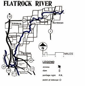
Length 158 km | ||
 | ||
Mouths Mooreland, White River Township, White River | ||
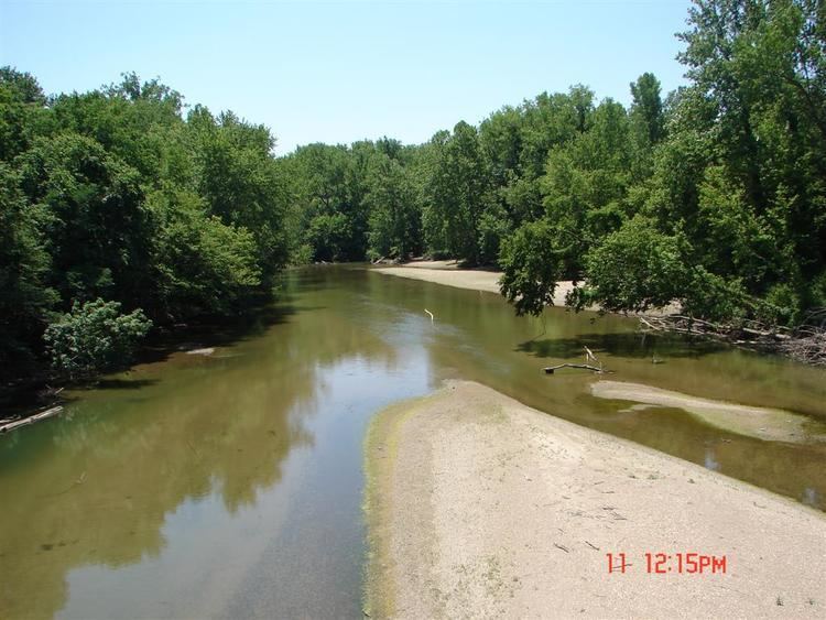
Flatrock river june 13 2009 900cfs
The Flatrock River, also known as Flatrock Creek and other variants of the two names, is a 98-mile-long (158 km) tributary of the East Fork of the White River in east-central Indiana in the United States. Via the White, Wabash and Ohio rivers, it is part of the watershed of the Mississippi River, draining an area of 532 square miles (1,380 km2).
Contents
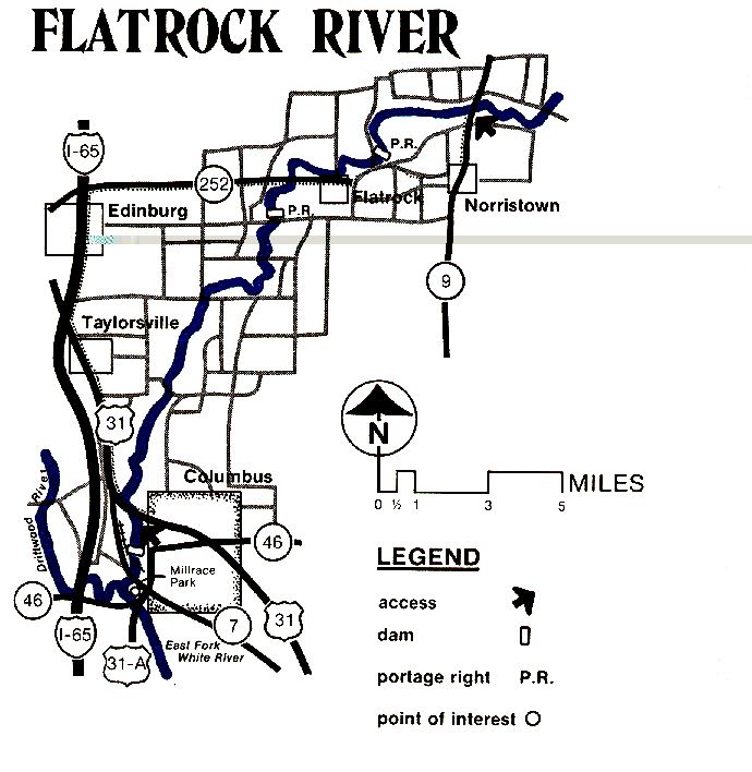
The Flatrock River rises near Mooreland in northeastern Henry County, and flows generally southwestwardly through Rush, Decatur, Shelby and Bartholomew counties, past the communities of Lewisville, Rushville and St. Paul. It joins the Driftwood River at Columbus to form the East Fork of the White River. The New Hope Bridge and Pugh Ford Bridge span the river in Bartholomew County, Indiana.
In Decatur County it collects the Little Flatrock River, which rises in Rush County and flows southwestwardly 23.4 miles (37.7 km), past Milroy.
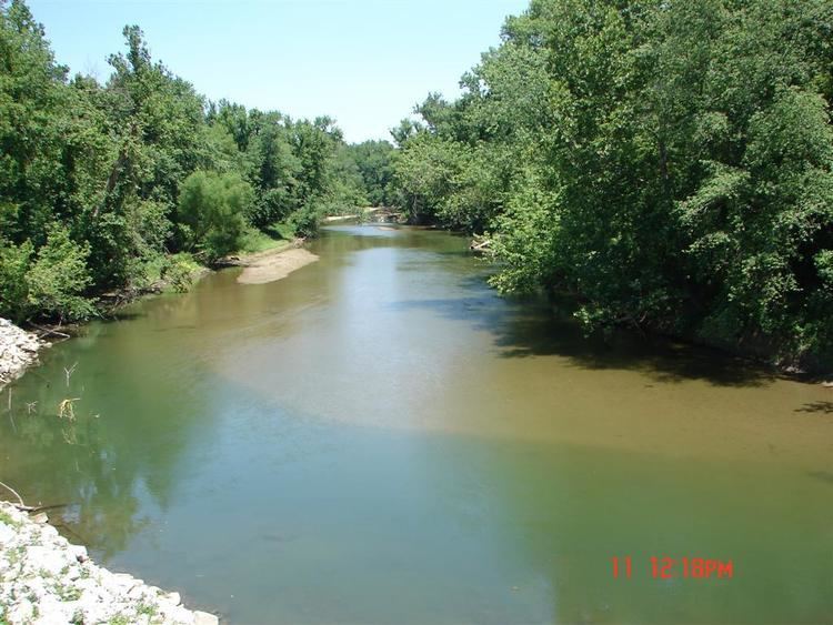
Flatrock river july 2010
Variant names
The United States Board on Geographic Names settled on "Flat Rock River" as the stream's name in 1917, and changed it to "Flatrock River" in 1959. According to the Geographic Names Information System, it has also been known historically as "Big Flat Rock River," "Big Flatrock River," "Flat Rock Creek," and "Flatrock Creek."
