
Country United States County Bartholomew GNIS feature ID 0454028 Area 127.5 km² Population 3,815 (2010) | ZIP codes 47201, 47247, 47274 Elevation 188 m Local time Sunday 12:13 PM | |
 | ||
Weather 21°C, Wind S at 23 km/h, 30% Humidity | ||
Wayne Township is one of twelve townships in Bartholomew County, Indiana, United States. As of the 2010 census, its population was 3,815 and it contained 1,492 housing units.
Contents
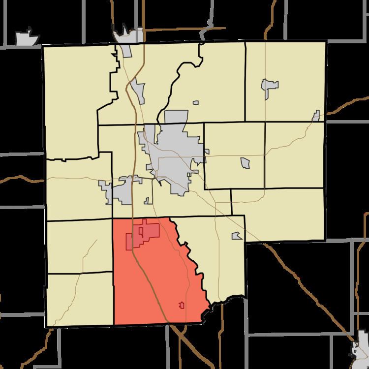
- Map of Wayne Township IN USA
- Geography
- Cities towns villages
- Unincorporated towns
- Adjacent townships
- Cemeteries
- Major highways
- Rivers
- Churches
- School districts
- Political districts
- References
Map of Wayne Township, IN, USA
Geography
According to the 2010 census, the township has a total area of 49.23 square miles (127.5 km2), of which 48.91 square miles (126.7 km2) (or 99.35%) is land and 0.31 square miles (0.80 km2) (or 0.63%) is water.
Cities, towns, villages
Unincorporated towns
(This list is based on USGS data and may include former settlements.)
Adjacent townships
Cemeteries
The township contains Daugherty Cemetery.
Major highways
Rivers
Churches
School districts
Political districts
References
Wayne Township, Bartholomew County, Indiana Wikipedia(Text) CC BY-SA