
Country United States County Bartholomew Elevation 197 m Local time Sunday 5:56 PM | GNIS feature ID 0453325 Area 81.14 km² Population 7,093 (2010) | |
 | ||
ZIP codes 46124, 47201, 47203, 47280 Weather 2°C, Wind E at 6 km/h, 33% Humidity | ||
German Township is one of twelve townships in Bartholomew County, Indiana, United States. As of the 2010 census, its population was 7,093 and it contained 2,920 housing units.
Contents
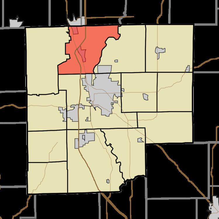
- Map of German Township IN USA
- History
- Geography
- Cities towns villages
- Unincorporated towns
- Adjacent townships
- Cemeteries
- Major highways
- School districts
- Political districts
- References
Map of German Township, IN, USA
History
The James Marr House and Farm and Pugh Ford Bridge are listed on the National Register of Historic Places.
Geography
According to the 2010 census, the township has a total area of 31.33 square miles (81.1 km2), of which 31.23 square miles (80.9 km2) (or 99.68%) is land and 0.1 square miles (0.26 km2) (or 0.32%) is water. Camp Atterbury borders the township to the west.
Cities, towns, villages
Unincorporated towns
(This list is based on USGS data and may include former settlements.)
Adjacent townships
Cemeteries
The township contains these three cemeteries: Steenbarger, Tannehill and Treadway.
Major highways
School districts
Political districts
References
German Township, Bartholomew County, Indiana Wikipedia(Text) CC BY-SA