
Country United States County Bartholomew GNIS feature ID 0453204 Area 59.98 km² Population 3,271 (2010) | ZIP codes 47201, 47203, 47246 Elevation 195 m Local time Monday 4:49 PM | |
 | ||
Weather 14°C, Wind S at 21 km/h, 88% Humidity | ||
Clay Township is one of twelve townships in Bartholomew County, Indiana, United States. As of the 2010 census, its population was 3,271 and it contained 1,320 housing units.
Contents
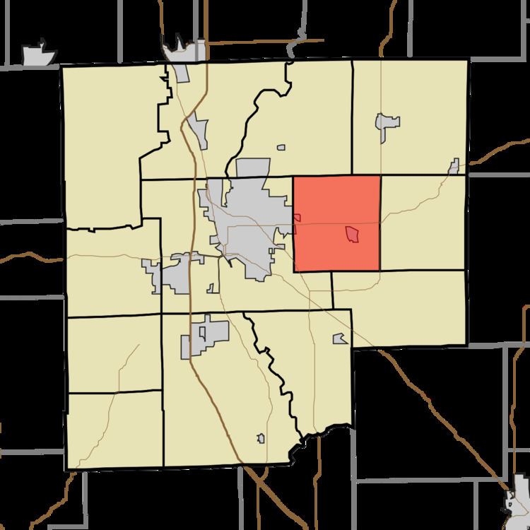
- Map of Clay Township IN USA
- Geography
- Cities towns villages
- Unincorporated towns
- Adjacent townships
- Cemeteries
- Major highways
- Landmarks
- School districts
- Political districts
- References
Map of Clay Township, IN, USA
Geography
According to the 2010 census, the township has a total area of 23.16 square miles (60.0 km2), of which 23.15 square miles (60.0 km2) (or 99.96%) is land and 0.01 square miles (0.026 km2) (or 0.04%) is water.
Cities, towns, villages
Unincorporated towns
(This list is based on USGS data and may include former settlements.)
Adjacent townships
Cemeteries
The township contains these two cemeteries: Sand Hill and Sharon.
Major highways
Landmarks
School districts
Political districts
References
Clay Township, Bartholomew County, Indiana Wikipedia(Text) CC BY-SA