
Country United States FIPS code 39-15008 Elevation 369 m Area code 419 | State Ohio Time zone Eastern (EST) (UTC-5) GNIS feature ID 2628875 Population 1,243 (2010) | |
 | ||
Area 4.921 km² (4.144 km² Land / 52 ha Water) | ||
Cinnamon Lake is a census-designated place (CDP) within Jackson Township, Ashland County, Ohio, United States. The population was 1,243 at the 2010 census. It consists of a planned community surrounding a 135-acre (0.55 km2) reservoir also named Cinnamon Lake.
Geography
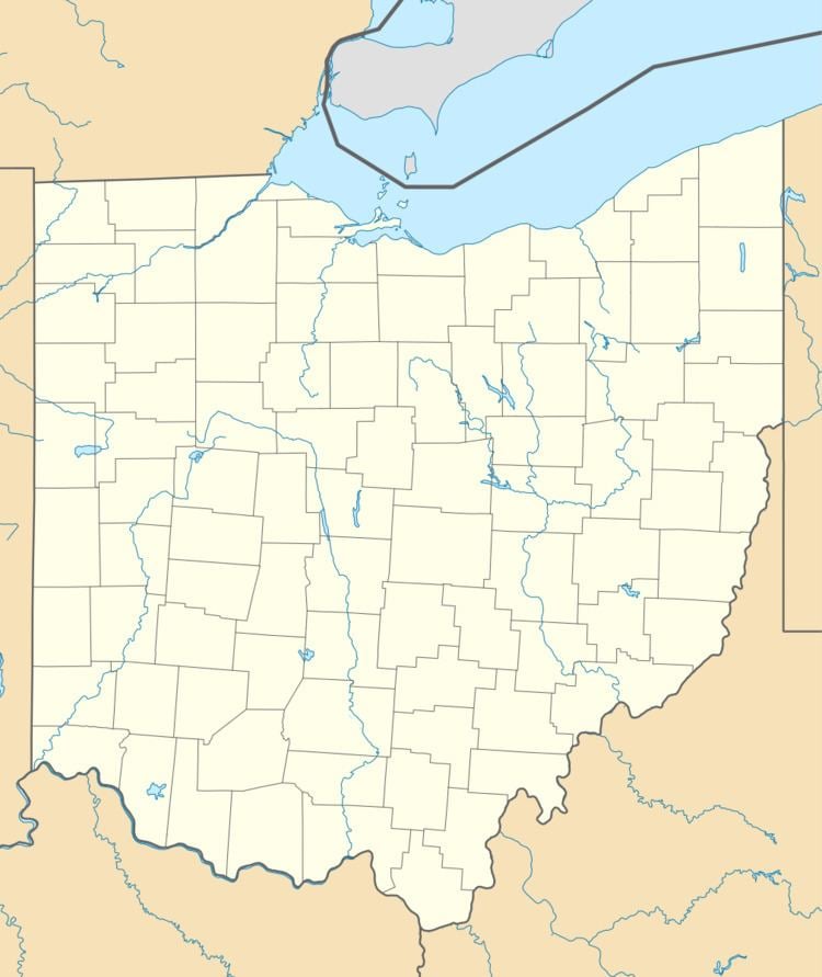
The Cinnamon Lake CDP is located at 40°58′44″N 82°11′34″W, along the northern edge of Jackson Township. The CDP has a total area of 1.9 square miles (4.8 km2), of which 1.6 square miles (4.2 km2) is land and 0.23 square miles (0.6 km2), or 12.19%, is water, consisting of the reservoir Cinnamon Lake. Muddy Fork, the outlet of Cinnamon Lake, flows east, then south, to the Lake Fork Mohican River, then to the Mohican River and into the Walhonding River and finally the Muskingum River, a tributary of the Ohio River.
No numbered highways run through the CDP. It is located 4 miles (6 km) west of West Salem, 3 miles (5 km) northeast of Polk, and 11 miles (18 km) northeast of Ashland.