
Country United States Elevation 1,066 ft (325 m) Area code(s) 419, 567 Local time Sunday 9:43 AM Zip code 44805 | Time zone Eastern (EST) (UTC-5) FIPS code 39-02568 Population 20,337 (2013) | |
 | ||
Weather -2°C, Wind W at 18 km/h, 59% Humidity | ||
Don t bring drugs to ashland ohio
Ashland is a city in and the county seat of Ashland County, Ohio, United States. The population was 20,362 at the 2010 census. It is the center of the Ashland Micropolitan Statistical Area (as defined by the United States Census Bureau in 2003).
Contents
- Don t bring drugs to ashland ohio
- Map of Ashland OH 44805 USA
- 531 center street ashland ohio 44805
- History
- Geography
- 2010 census
- 2000 census
- Government
- Transportation
- Education
- Notable people
- References
Map of Ashland, OH 44805, USA
Ashland is well known in the state for its "welcome sign" that proclaims the city to be "The World Headquarters of Nice People."
Ashland was designated a Tree City USA by the National Arbor Day Foundation.
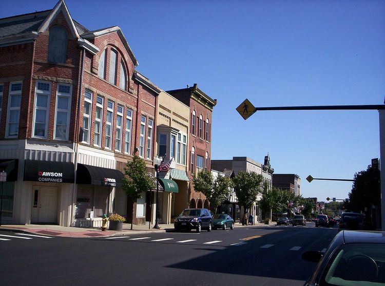
531 center street ashland ohio 44805
History
Ashland was laid out by Daniel Carter in 1815. Ashland was originally called Uniontown, but in 1822 the city was compelled to adopt a new name because another city in Ohio was already named Uniontown. The new name of Ashland was selected by supporters of the Kentucky congressman Henry Clay, from Ashland, his estate near Lexington.
Later, "Henry Clay High School" was considered as a name for what is now known as Ashland High School.
In the mid-1800s, Ashland pioneers traveled to Oregon, naming a settlement after the town.
Geography
Ashland is located at 40°52′1″N 82°18′55″W (40.867016, -82.315146).
According to the 2010 census, the city has a total area of 11.23 square miles (29.1 km2), of which 11.17 square miles (28.9 km2) (or 99.47%) is land and 0.06 square miles (0.16 km2) (or 0.53%) is water.
The city contains 85.6 miles (137.8 km) of streets, one hospital, one fire station, one police station, and five parks.
2010 census
As of the census of 2010, there were 20,362 people, 8,063 households, and 4,813 families residing in the city. The population density was 1,822.9 inhabitants per square mile (703.8/km2). There were 8,914 housing units at an average density of 798.0 per square mile (308.1/km2). The racial makeup of the city was 95.8% White, 1.4% African American, 0.1% Native American, 1.0% Asian, 0.1% Pacific Islander, 0.3% from other races, and 1.3% from two or more races. Hispanic or Latino of any race were 1.2% of the population.
There were 8,063 households of which 28.2% had children under the age of 18 living with them, 43.2% were married couples living together, 12.1% had a female householder with no husband present, 4.4% had a male householder with no wife present, and 40.3% were non-families. 34.2% of all households were made up of individuals and 15.9% had someone living alone who was 65 years of age or older. The average household size was 2.28 and the average family size was 2.91.
The median age in the city was 36.1 years. 21% of residents were under the age of 18; 15.7% were between the ages of 18 and 24; 22.5% were from 25 to 44; 23.1% were from 45 to 64; and 17.7% were 65 years of age or older. The gender makeup of the city was 46.8% male and 53.2% female.
2000 census
As of the census of 2000, there were 21,249 people, 8,327 households, and 5,262 families residing in the city. The population density was 2,051.5 people per square mile (791.9/km²). There were 8,870 housing units at an average density of 856.4/sq mi (330.6/km²). The racial makeup of the city was 96.35% White, 1.19% African American, 0.13% Native American, 1.05% Asian, 0.05% Pacific Islander, 0.32% from other races, and 0.91% from two or more races. Hispanic or Latino of any race were 0.85% of the population.
There were 8,327 households out of which 29.1% had children under the age of 18 living with them, 48.3% were married couples living together, 11.4% had a female householder with no husband present, and 36.8% were non-families. 31.8% of all households were made up of individuals and 13.8% had someone living alone who was 65 years of age or older. The average household size was 2.32 and the average family size was 2.92.
In the city the population was spread out with 22.6% under the age of 18, 15.4% from 18 to 24, 25.1% from 25 to 44, 20.3% from 45 to 64, and 16.6% who were 65 years of age or older. The median age was 35 years. For every 100 females there were 87.2 males. For every 100 females age 18 and over, there were 82.0 males.
The median income for a household in the city was $34,250, and the median income for a family was $42,755. Males had a median income of $33,634 versus $21,781 for females. The per capita income for the city was $16,760. About 7.9% of families and 10.5% of the population were below the poverty line, including 13.7% of those under age 18 and 9.1% of those age 65 or over.
Government
The city is governed by a mayor, Glen P. Stewart, and a five-person city council.
Transportation
The Ashland County Airport is located three nautical miles (3.5 mi, 5.6 km) northeast of Ashland's central business district.
Education
Ashland Public Schools enroll 3,717 students in public primary and secondary schools. The district operates five public schools, including three elementary schools, one middle school, one high school. Other than public schools, the city is home to Ashland Christian School, St. Edward Catholic School, a US Dept. of Education Blue Ribbon School of Excellence, and Ashland Montessori School.
The city is home to Ashland University and Ashland Theological Seminary. Both were established by the Brethren Church—an Evangelical Protestant church in the Anabaptist tradition which is headquartered in Ashland.