
Car plates GCH Population 91,585 (2006) | Area 1,364 km² | |
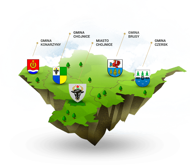 | ||
Gminas Total 5 (incl. 1 urban)ChojniceGmina BrusyGmina ChojniceGmina CzerskGmina Konarzyny Points of interest Bory Tucholskie National, Galeria Janusza Trzebiatowskiego, Brda, Kaszubski Dom Rękodzie, Park Tysiąclecia | ||
Chojnice County (Polish: powiat chojnicki) is a unit of territorial administration and local government (powiat) in Pomeranian Voivodeship, northern Poland. It came into being on January 1, 1999, as a result of the Polish local government reforms passed in 1998. Its administrative seat and largest town is Chojnice, which lies 103 kilometres (64 mi) south-west of the regional capital Gdańsk. The county also contains the towns of Czersk, lying 30 km (19 mi) east of Chojnice, and Brusy, 24 km (15 mi) north-east of Chojnice.
Contents
Map of Chojnice County, Poland
The county covers an area of 1,364.25 square kilometres (526.7 sq mi). As of 2006 its total population is 91,585, out of which the population of Chojnice is 39,716, that of Czersk is 9,463, that of Brusy is 4,582, and the rural population is 37,824.
Chojnice County on a map of the counties of Pomeranian Voivodeship
Chojnice County is bordered by Bytów County and Kościerzyna County to the north, Starogard County and Tuchola County to the east, Sępólno County to the south, and Człuchów County to the west.
Administrative division
The county is subdivided into five gminas (one urban, two urban-rural and two rural). These are listed in the following table, in descending order of population.