
Car plates GCZ | Area 1,574 km² | |
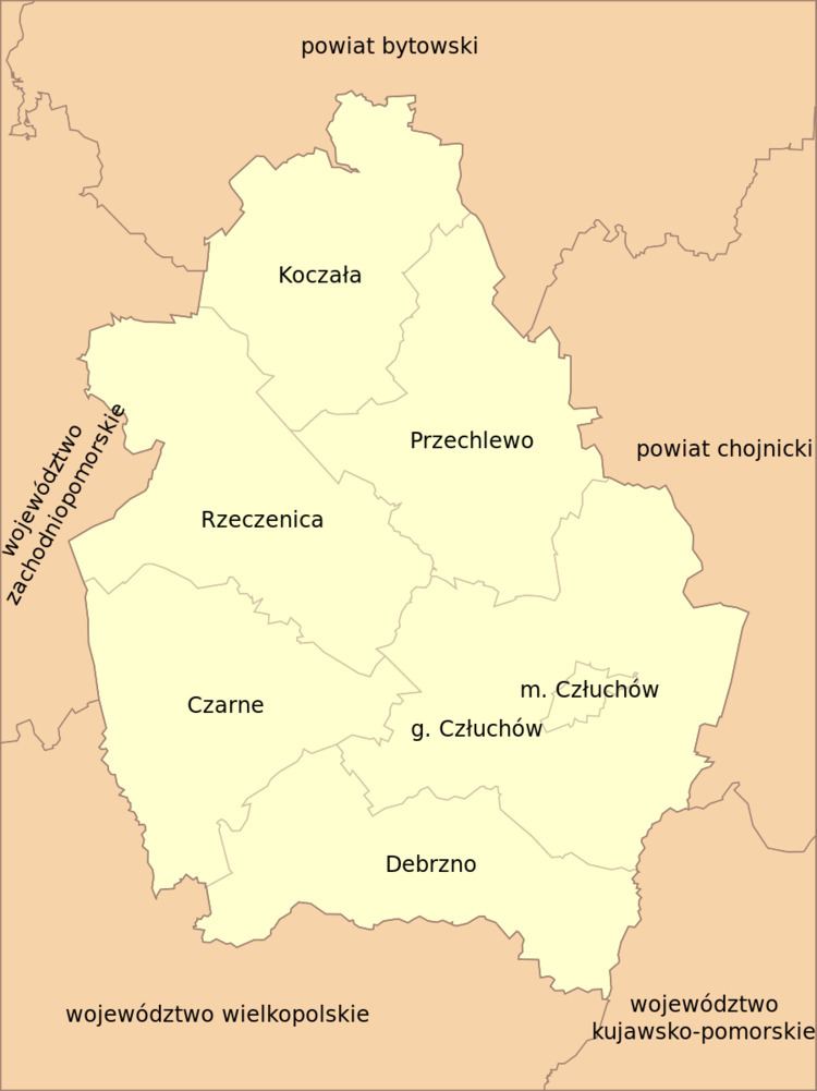 | ||
Gminas Total 7 (incl. 1 urban)CzłuchówGmina CzarneGmina CzłuchówGmina DebrznoGmina KoczałaGmina PrzechlewoGmina Rzeczenica Points of interest Schloss Człuchów, ZOO Canpol, Lasek Luizy, Brda, Rezerwat przyrody Przytoń | ||
Człuchów County (Polish: powiat człuchowski) is a unit of territorial administration and local government (powiat) in Pomeranian Voivodeship, northern Poland. It came into being on January 1, 1999, as a result of the Polish local government reforms passed in 1998. Its administrative seat and largest town is Człuchów, which lies 115 kilometres (71 mi) south-west of the regional capital Gdańsk. The county also contains the towns of Czarne, lying 28 km (17 mi) west of Człuchów, and Debrzno, 16 km (10 mi) south-west of Człuchów.
Contents
Map of Cz%C5%82uch%C3%B3w County, Poland
The county covers an area of 1,574.41 square kilometres (607.9 sq mi). As of 2006 its total population is 56,797, out of which the population of Człuchów is 14,597, that of Czarne is 5,917, that of Debrzno is 5,359, and the rural population is 30,924.
Człuchów County on a map of the counties of Pomeranian Voivodeship
Człuchów County is bordered by Bytów County to the north, Chojnice County to the east, Sępólno County to the south, Złotów County to the south-west and Szczecinek County to the west.
Administrative division
The county is subdivided into seven gminas (one urban, two urban-rural and four rural). These are listed in the following table, in descending order of population.