
 | ||
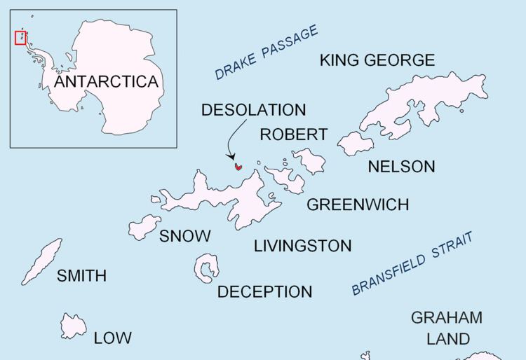
Blythe Bay (62°28′S 60°20′W) is an anchorage at the southeast side of Desolation Island, lying north of Livingston Island in the South Shetland Islands, Antarctica. The bay is bounded by Craggy Island to the northeast, Desolation Island to the northwest, the Miladinovi Islets to the west and Wood Island to the south.
The feature was known to American and British sealers as Blythe Bay as early as 1821. In the 1930s, however, the name was applied to a large bay between Williams Point and Cape Shirreff (now Hero Bay). This error has now been rectified and the name Blythe Bay is approved as originally used. The name is probably after Blythe (now Blyth), England, home of William Smith who reported the discovery of the South Shetland Islands in 1819.