
Length 95 km | ||
 | ||
East end: SR 18 near Big Bear City | ||
State Route 38 (SR 38) is a mostly rural and scenic road in the U.S. state of California. Despite the orientation of its alignment, SR 38 is assigned in a west–east direction.
Contents
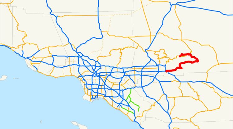
Map of CA-38, California, USA
Route description
This route is part of the California Freeway and Expressway System and is eligible for the State Scenic Highway System. However, it is only a scenic highway between a point east of the South Fork Campground and the intersection with State Lane.
SR 38 begins at its west junction with State Route 18 adjacent to the westernmost point of Big Bear Lake near the City of Big Bear Lake. Bordering the north shore of the lake, it traverses North Shore Drive as it passes Fawnskin and Minnelusa. After it passes Big Bear City Airport, it reaches its northeast junction with State Route 18 at Greenway Drive in Big Bear City. Route 38 then turns south, sharing Greenway Drive with Route 18. Both route signs continue on Greenway Drive to its intersection with Big Bear Boulevard. At the intersection, Route 18 turns west and Route 38 turns east onto Big Bear Boulevard. Route 38 continues easterly on Big Bear Boulevard to its intersection with Greenspot Boulevard and Shay Road.
The route then turns southeast onto Greenspot Boulevard. SR 38 leaves Big Bear City, and ascends southeasterly, reaching Onyx Summit at 8,443 ft (2,573 m), near 9,114 ft (2,778 m) Onyx Peak; in the vicinity of this location, Route 38 is one of the highest roads in southern California. After the summit, the highway turns briefly southerly and then southwesterly starting its slow descent as it continues along Cienaga Seca Creek until it is just west of the forest road to Heart Bar Campground and to one of the many trails to San Gorgonio Mountain, the highest land elevation in southern California. It then continues northwesterly along the upper Santa Ana River and then, after briefly crossing undulating terrain, westerly through the Barton Flats area, home to many campgrounds. After leaving the Barton Flats area, encountering many small-radius curves, it continues southwesterly through undulating terrain to Angelus Oaks, where Route 38 crosses the ridgeline of the highest peaks in the San Bernardino Mountains.
After leaving Angelus Oaks, the highway continues briefly to the south including many curves; then the highway descends more rapidly as it turns southeasterly and then briefly southerly and southwesterly along the southern face of the San Bernardino Mountains to its intersection with Valley of the Falls Drive, the access road to the community of Forest Falls and to the shortest and steepest trail to San Gorgonio Mountain. Now known as Mill Creek Road, Route 38 turns slightly north of west past the north side of Mountain Home Village and then southwesterly through and adjacent to Mill Creek Canyon before leaving the San Bernardino National Forest and entering Mentone. Upon entering Mentone, the route continues due west, becoming Mentone Boulevard. As one enters Redlands from Mentone, SR 38 becomes Lugonia Avenue before turning south on Orange Street and terminating at Interstate 10 in Redlands east of the State Route 210 interchange.
History
A road that went from Redlands to near Baldwin Lake was added to the state highway system in 1933, and became Route 190 in 1935. In the 1964 state highway renumbering, SR 38 was designated; at this time, the highway was rerouted to the northern side of Big Bear Lake.
Major intersections
Except where prefixed with a letter, postmiles were measured on the road as it was in 1964, based on the alignment that existed at the time, and do not necessarily reflect current mileage. R reflects a realignment in the route since then, M indicates a second realignment, L refers an overlap due to a correction or change, and T indicates postmiles classified as temporary (for a full list of prefixes, see the list of postmile definitions). Segments that remain unconstructed or have been relinquished to local control may be omitted. The entire route is in San Bernardino County.