
Country United States GNIS feature ID 453618 Local time Sunday 6:33 PM | FIPS code 18-48564 Elevation 235 m Population 974 (2010) | |
 | ||
Weather 8°C, Wind S at 6 km/h, 55% Humidity Area 50.84 km² (50.32 km² Land / 52 ha Water) | ||
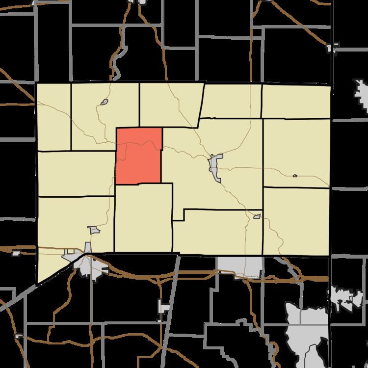
Metamora Township is one of thirteen townships in Franklin County, Indiana. As of the 2010 census, its population was 974.
Contents
History
Metamora Township was established in 1849 from land given by Salt Creek, Laurel and Brookville townships.
The Duck Creek Aqueduct was listed on the National Register of Historic Places and designated a National Historic Landmark in 2014.
Geography
According to the 2010 census, the township has a total area of 19.63 square miles (50.8 km2), of which 19.43 square miles (50.3 km2) (or 98.98%) is land and 0.2 square miles (0.52 km2) (or 1.02%) is water.
Unincorporated towns
(This list is based on USGS data and may include former settlements.)
Adjacent townships
Major highways
Cemeteries
The township contains one cemetery, McKenzie.
References
Metamora Township, Franklin County, Indiana Wikipedia(Text) CC BY-SA