
Country United States GNIS feature ID 453827 Local time Wednesday 2:21 PM | FIPS code 18-67554 Elevation 262 m Population 1,004 (2010) | |
 | ||
Weather 11°C, Wind E at 14 km/h, 73% Humidity Area 70.55 km² (70.29 km² Land / 26 ha Water) | ||
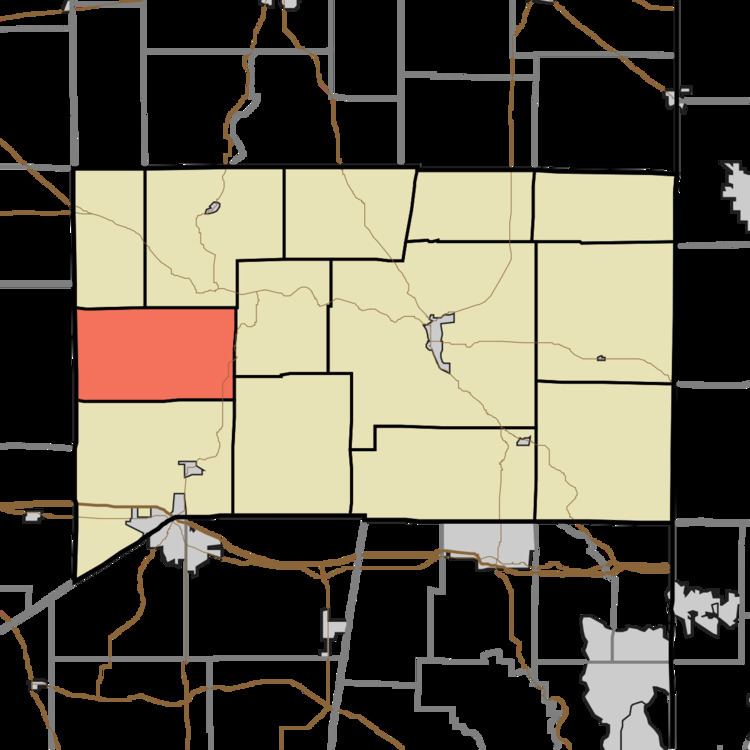
Salt Creek Township is one of thirteen townships in Franklin County, Indiana. As of the 2010 census, its population was 1,004.
Contents
- Map of Salt Creek Township IN USA
- History
- Geography
- Unincorporated towns
- Adjacent townships
- Major highways
- Cemeteries
- References
Map of Salt Creek Township, IN, USA
History
Salt Creek Township was established in 1844.
Geography
According to the 2010 census, the township has a total area of 27.24 square miles (70.6 km2), of which 27.14 square miles (70.3 km2) (or 99.63%) is land and 0.1 square miles (0.26 km2) (or 0.37%) is water.
Unincorporated towns
Adjacent townships
Major highways
Cemeteries
The township contains six cemeteries: Barnes, Bowman, Marlin, Saint Annes, Saint Nicholas and Stipps Hill.
References
Salt Creek Township, Franklin County, Indiana Wikipedia(Text) CC BY-SA