
Country United States GNIS feature ID 453782 Local time Saturday 6:07 AM | FIPS code 18-63126 Elevation 292 m Population 4,021 (2010) | |
 | ||
Weather 16°C, Wind S at 14 km/h, 67% Humidity Area 102.8 km² (102.6 km² Land / 21 ha Water) | ||
Ray Township is one of thirteen townships in Franklin County, Indiana. As of the 2010 census, its population was 4,021.
Contents
- Map of Ray Township IN USA
- History
- Geography
- Cities and towns
- Unincorporated towns
- Adjacent townships
- Major highways
- Cemeteries
- References
Map of Ray Township, IN, USA
History
Ray Township is named for James B. Ray, fourth Governor of Indiana.
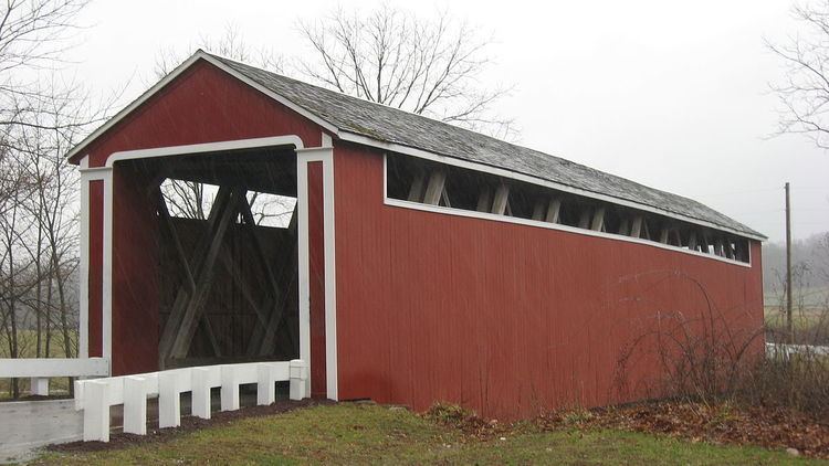
The Oldenburg Historic District and Stockheughter Covered Bridge are listed on the National Register of Historic Places.
Geography
According to the 2010 census, the township has a total area of 39.69 square miles (102.8 km2), of which 39.61 square miles (102.6 km2) (or 99.80%) is land and 0.08 square miles (0.21 km2) (or 0.20%) is water.
Cities and towns
Unincorporated towns
(This list is based on USGS data and may include former settlements.)
Adjacent townships
Major highways
Cemeteries
The township contains one cemetery, Holy Family.
References
Ray Township, Franklin County, Indiana Wikipedia(Text) CC BY-SA