
Country United States Elevation 296 m Local time Saturday 3:00 PM | GNIS feature ID 0453137 Area 79.82 km² Population 2,571 (2010) | |
 | ||
Weather 2°C, Wind E at 21 km/h, 72% Humidity | ||
Brown Township is one of nine townships in Hancock County, Indiana, United States. As of the 2010 census, its population was 2,571 and it contained 1,067 housing units.
Contents
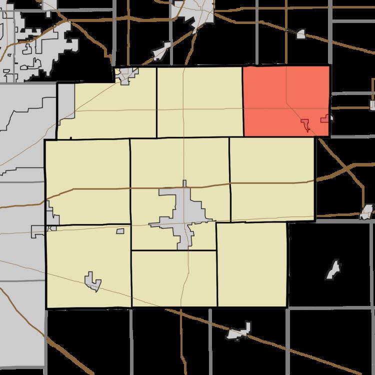
- Map of Brown Township IN USA
- History
- Geography
- Cities and towns
- Unincorporated towns
- Adjacent townships
- Cemeteries
- Major highways
- References
Map of Brown Township, IN, USA
History
Brown Township was organized in 1833. It was named for Prior Brown, a pioneer settler.
Geography
According to the 2010 census, the township has a total area of 30.82 square miles (79.8 km2), of which 30.76 square miles (79.7 km2) (or 99.81%) is land and 0.06 square miles (0.16 km2) (or 0.19%) is water. The streams of Harlan Run, Maize Run, McCray Run, Shirley Drain and Village Brook run through this township.
Cities and towns
Unincorporated towns
(This list is based on USGS data and may include former settlements.)
Adjacent townships
Cemeteries
The township contains five cemeteries: McCray, Harlan, Hayes (twp), Gard (twp) and Reeves (twp).
Major highways
References
Brown Township, Hancock County, Indiana Wikipedia(Text) CC BY-SA